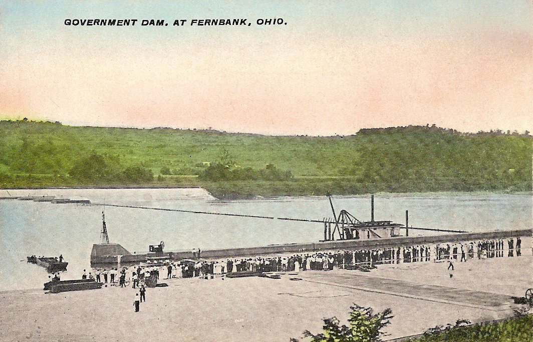
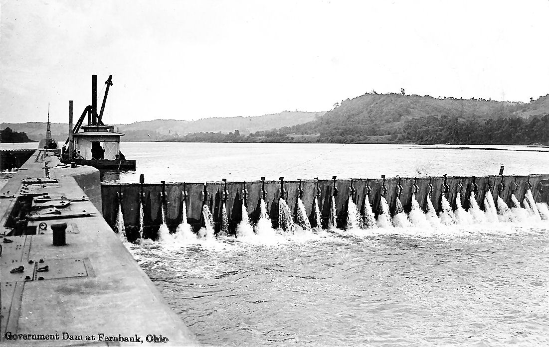
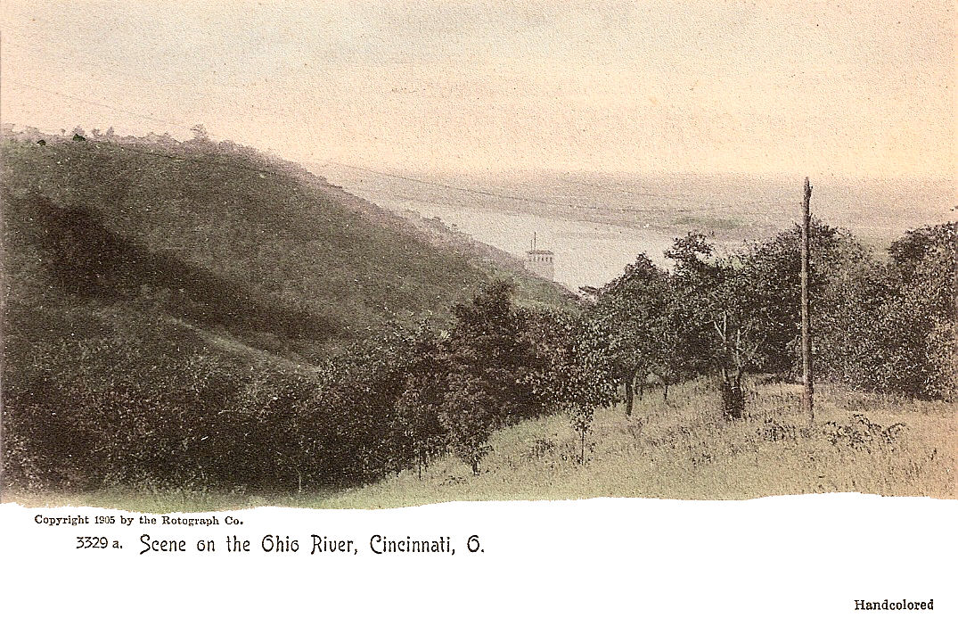
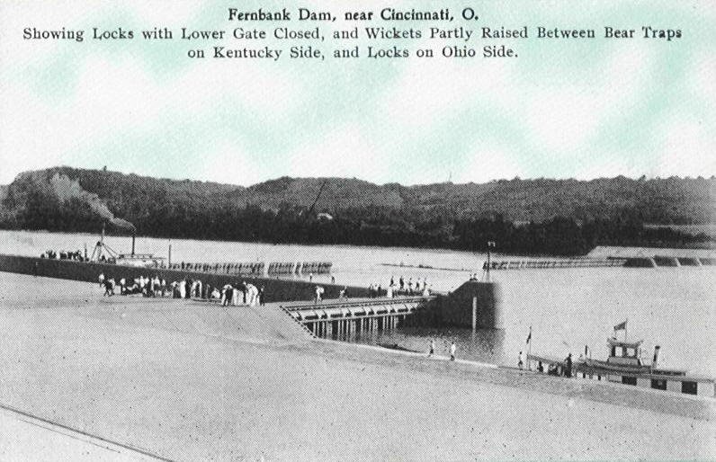
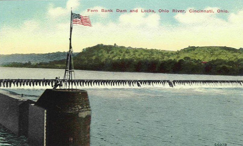
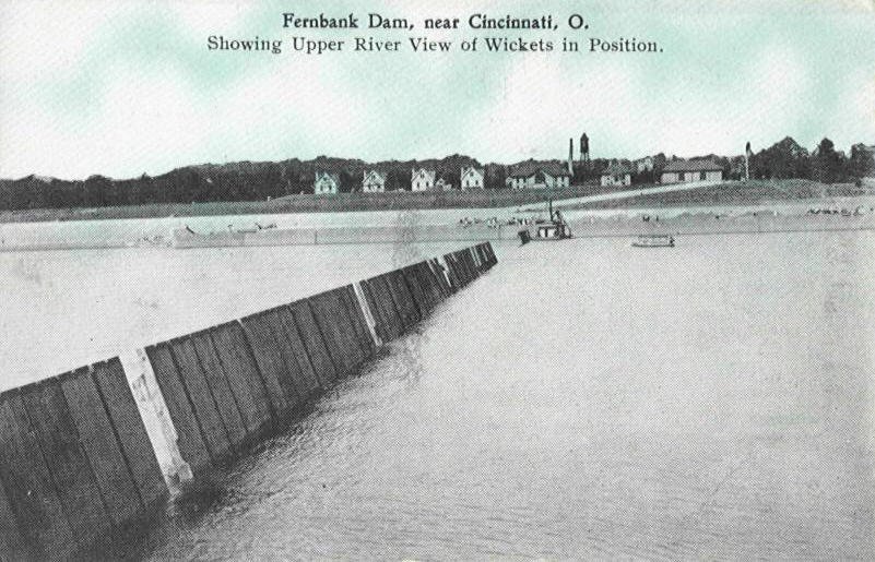
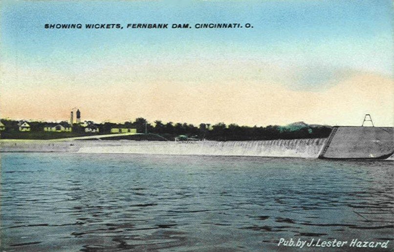
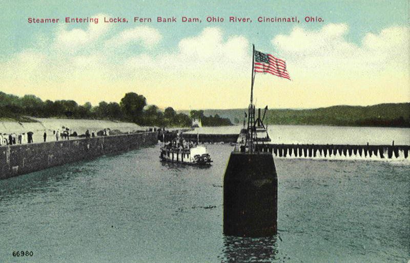
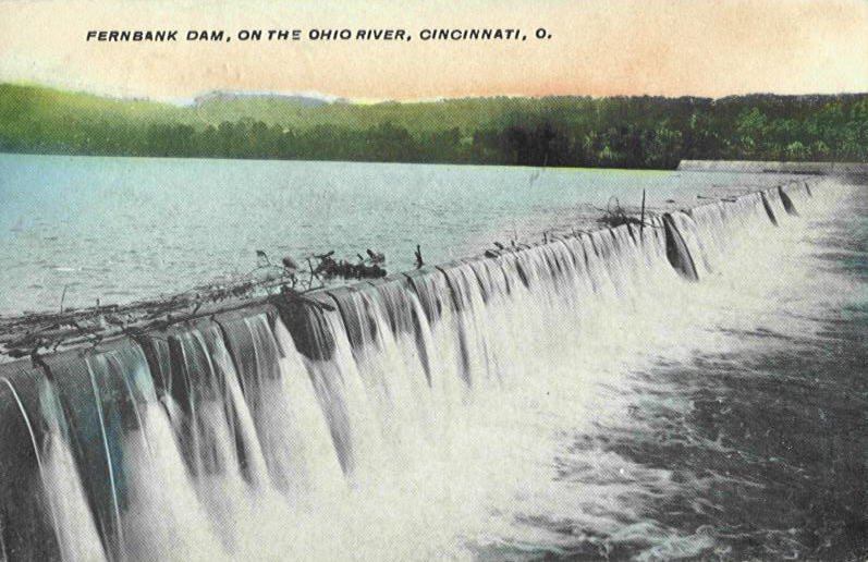
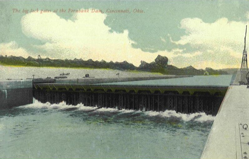
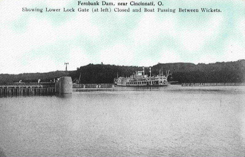
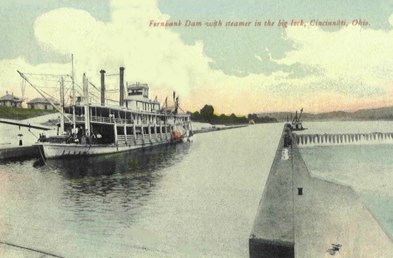
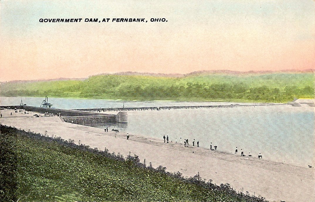
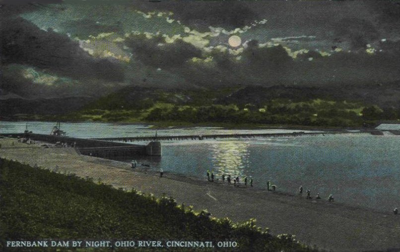
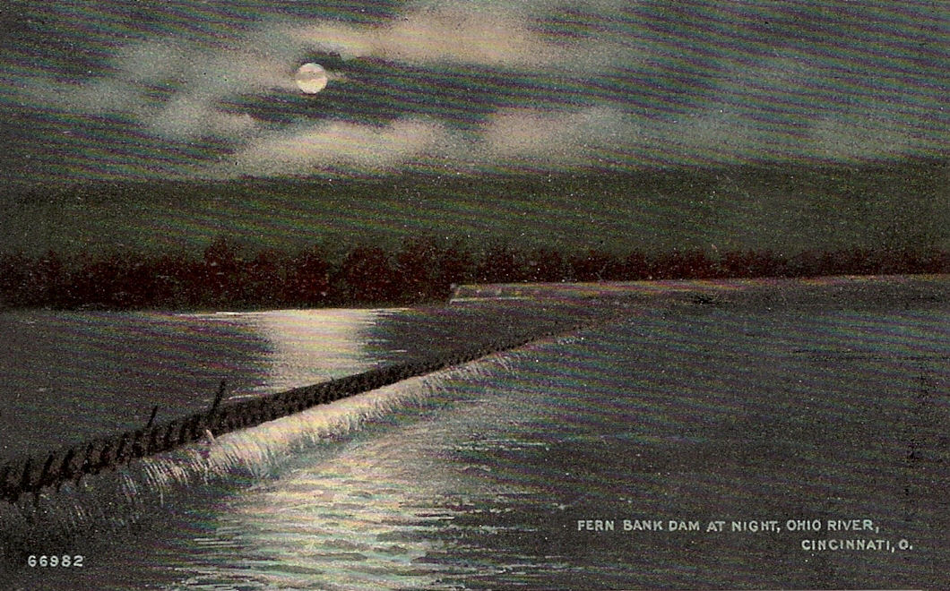
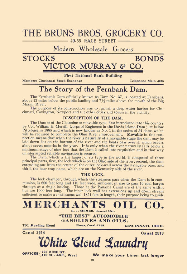
FERNBANK DAM
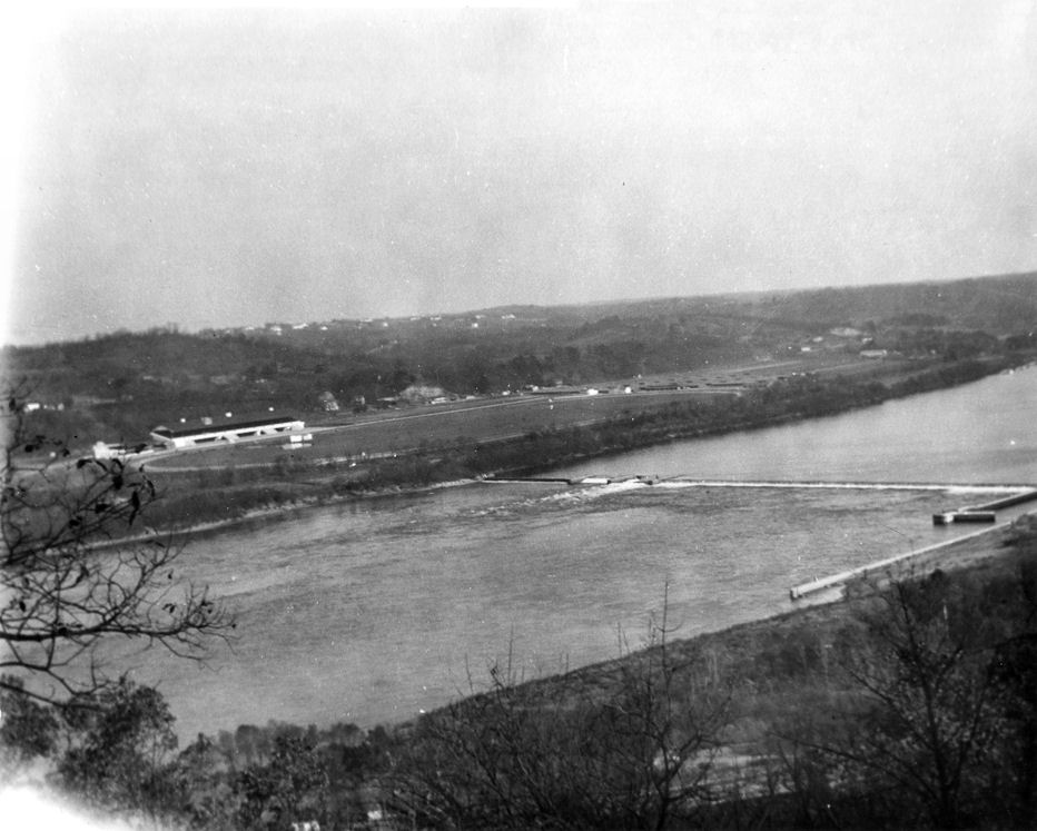
Before dams were built on the Ohio you could walk across the entire width of the river in periods of dry weather, obviously traffic by boat would be impossible. Congress authorized the canalization of the Ohio in 1878. There were a total of 49 of these dams and they raised the level of the river to 9'. Fern Bank was dam #37 and dam #36 was constructed in the Coney Island area. Its strange but I have never seen a postcard of the Coney Island Dam. Has anybody else? The image below is the only one I have found of dam #36, you can see River Downs on the left.
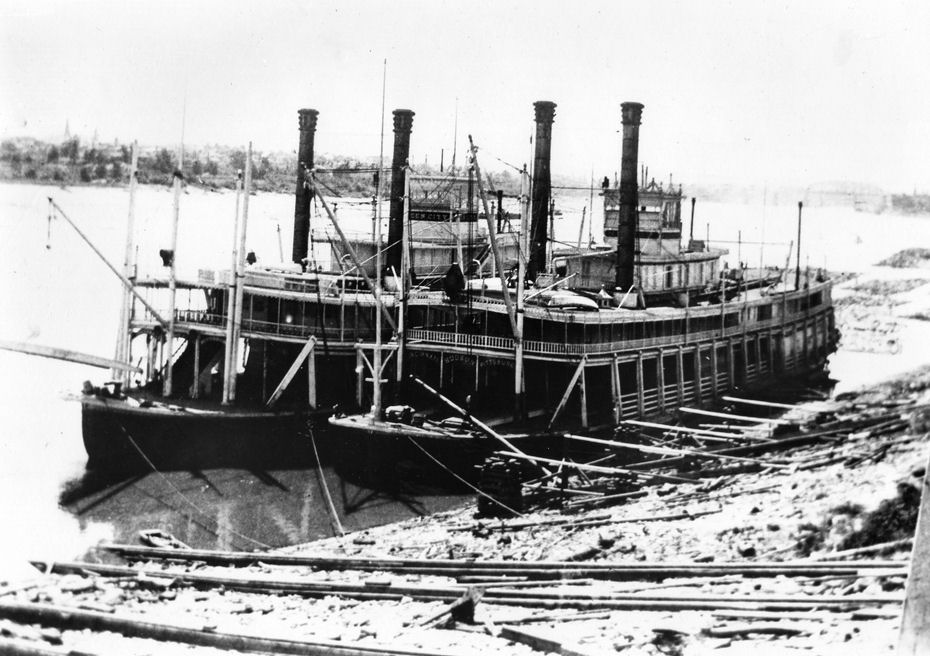
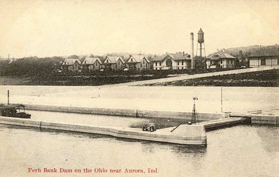
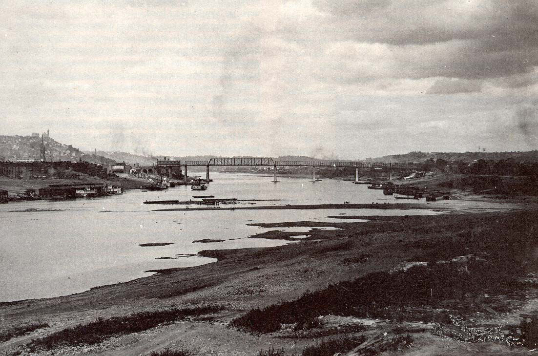
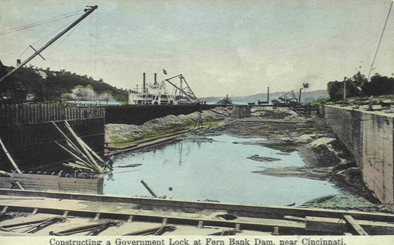
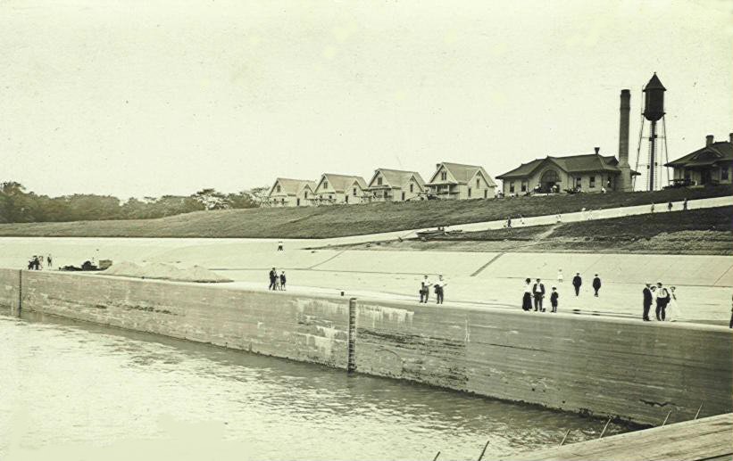
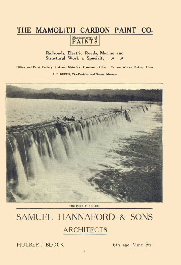
Fern Bank was constructed in 1911 and lasted until 1963 when a new group of 19 new dams were built which raised the level to 25' which allowed the passage of the bigger tows that were beginning to be used. The non-postcard image below demonstrates the plight of the Ohio river boat in times of very low river depths before the construction of the dams. This photo was taken in the 1880's with the L & N bridge in the distance.
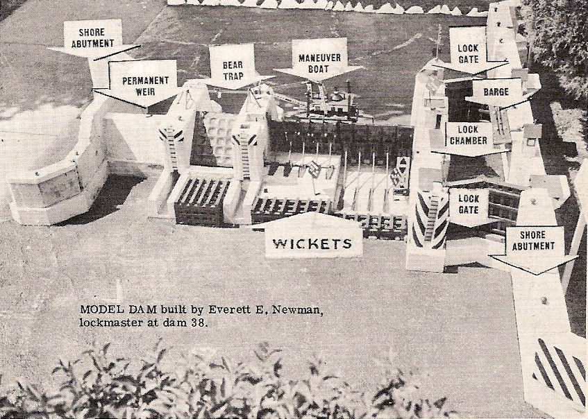
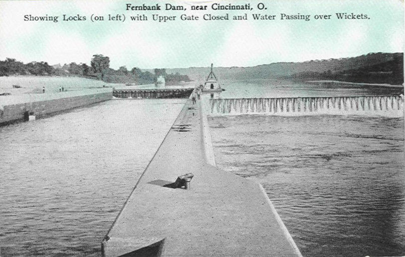
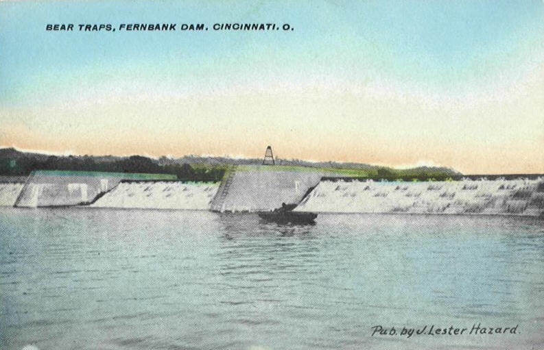
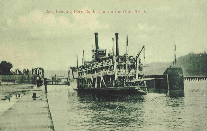
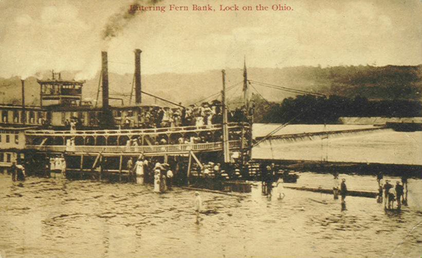
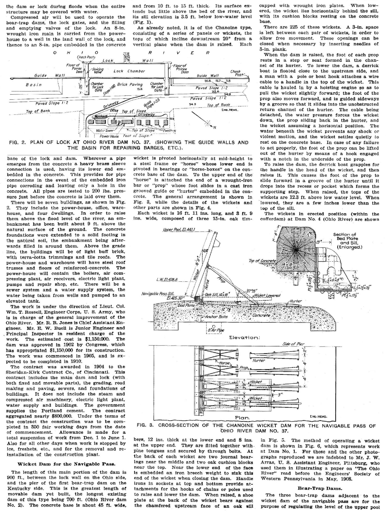
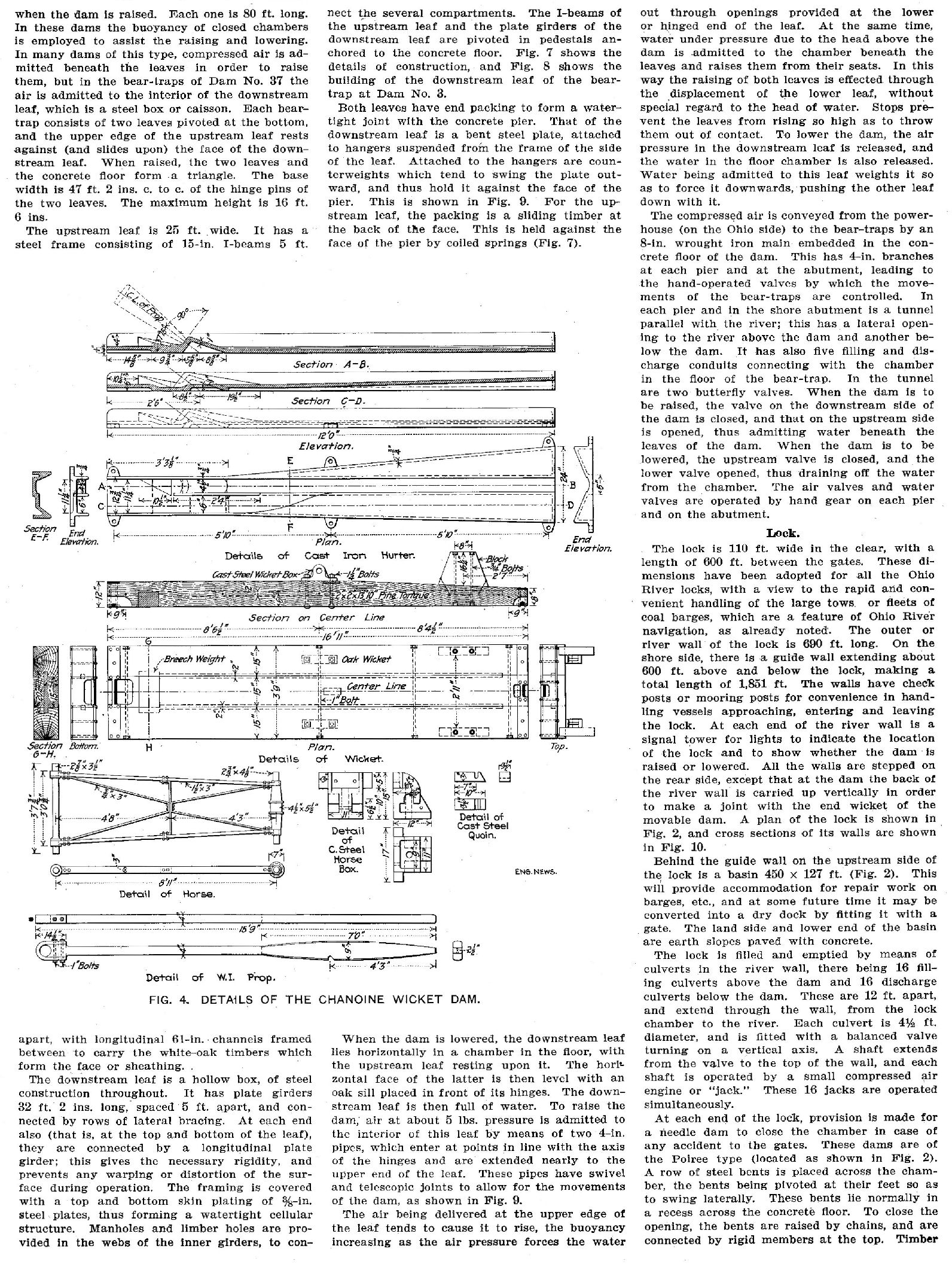
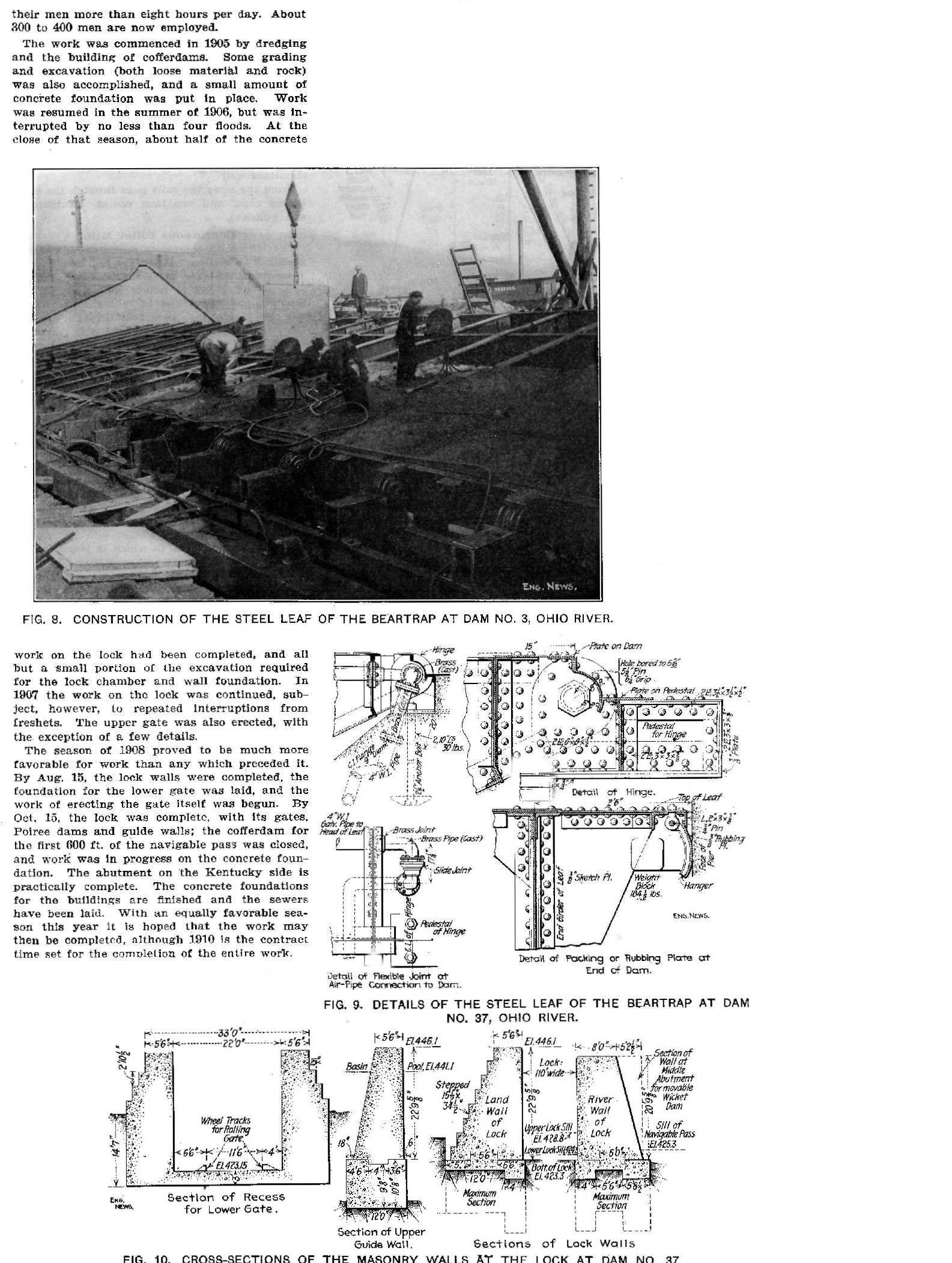
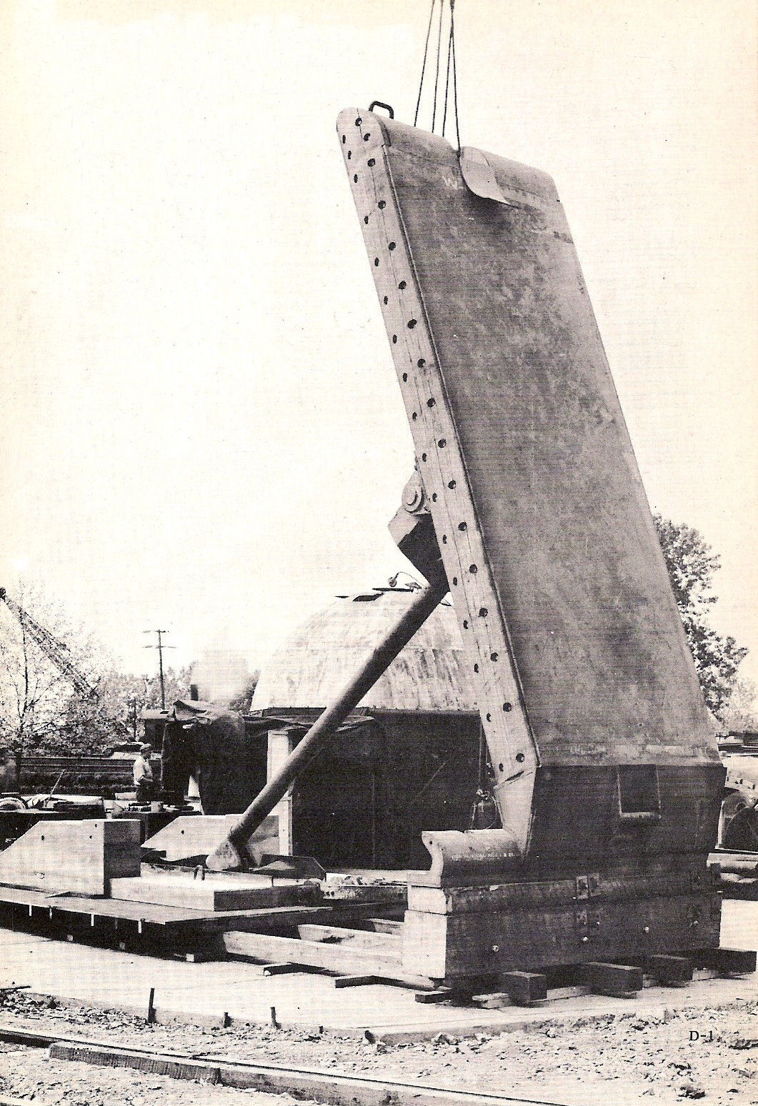
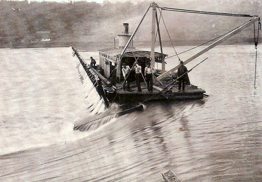
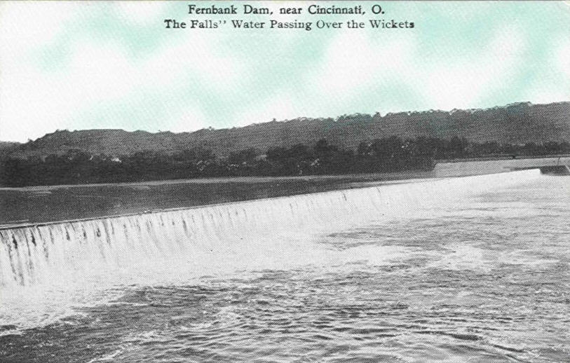
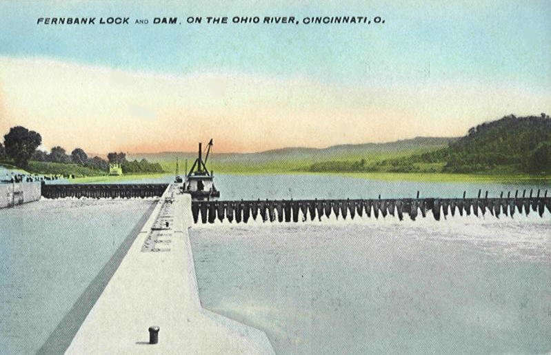
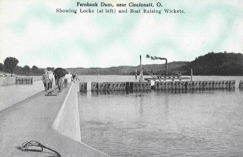
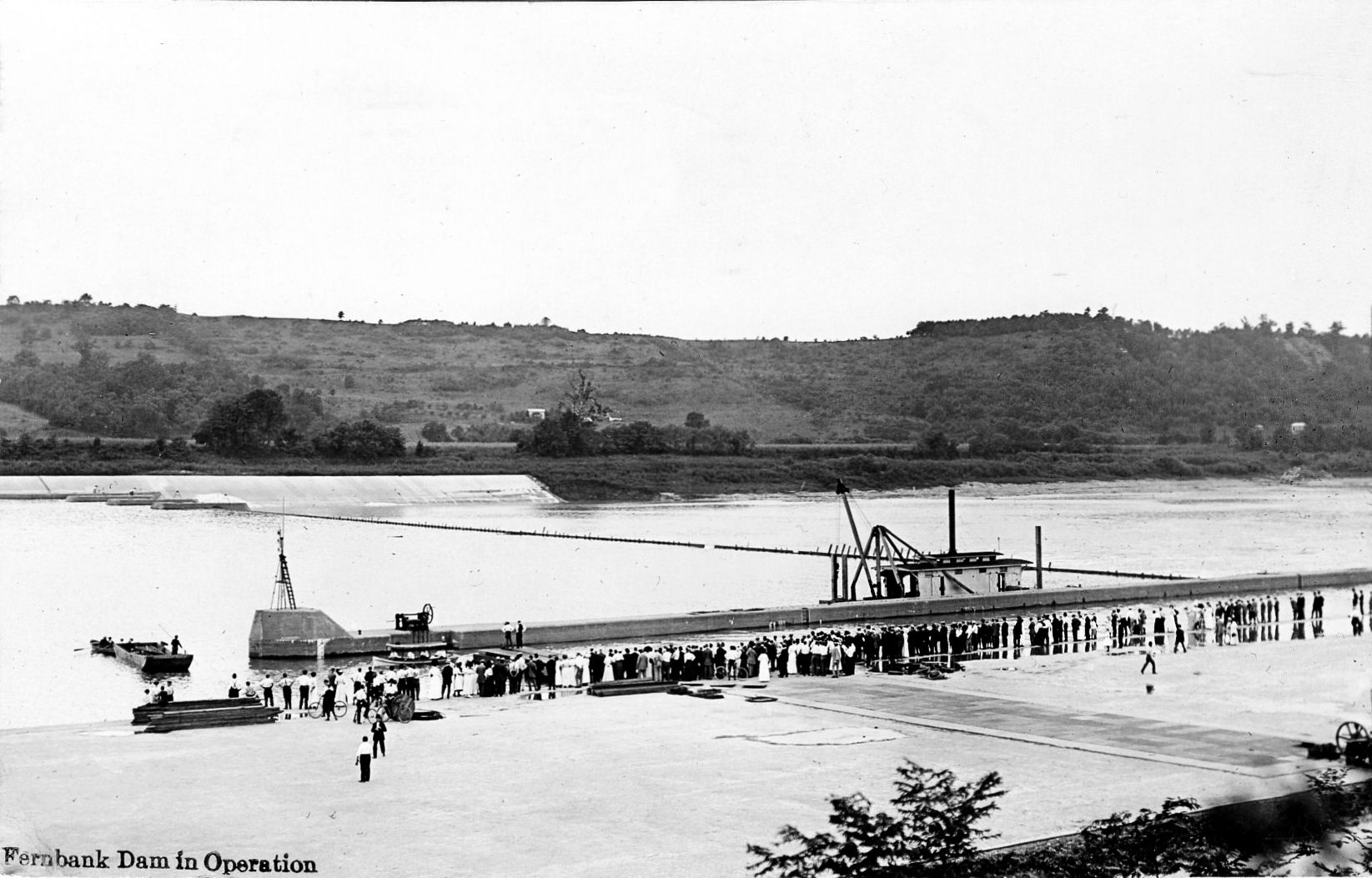
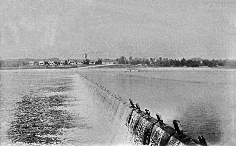
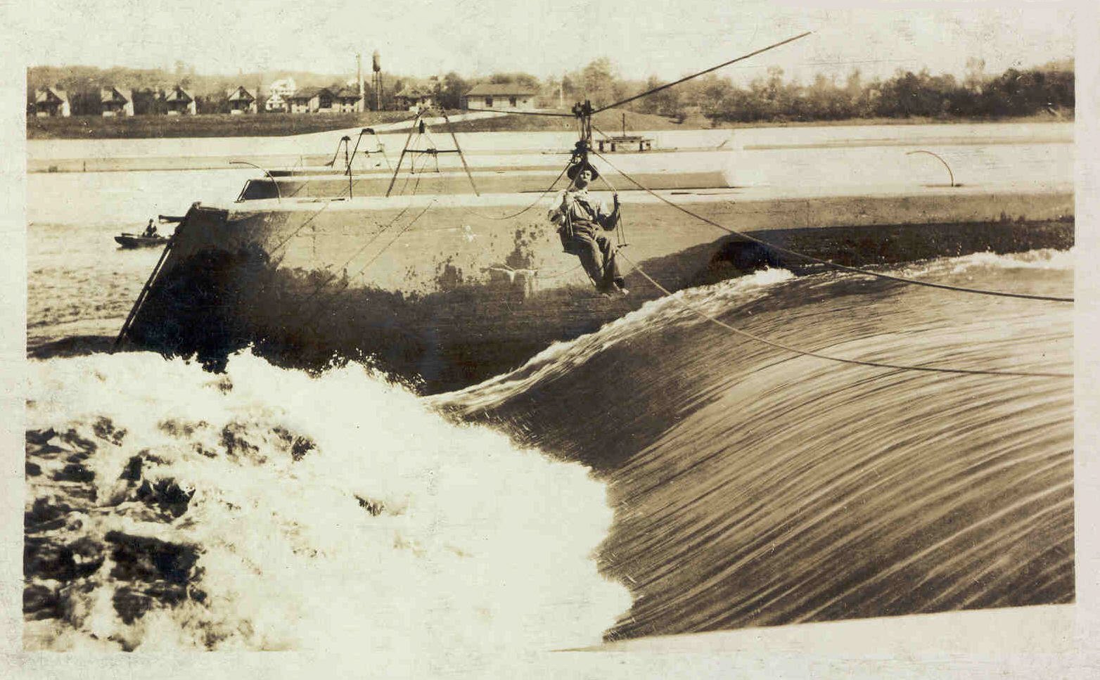
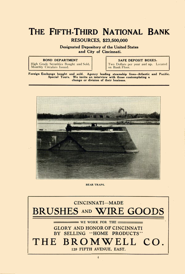
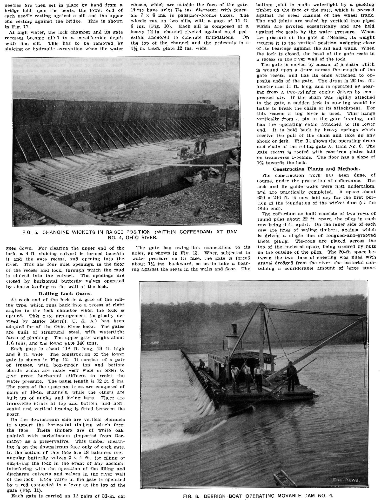
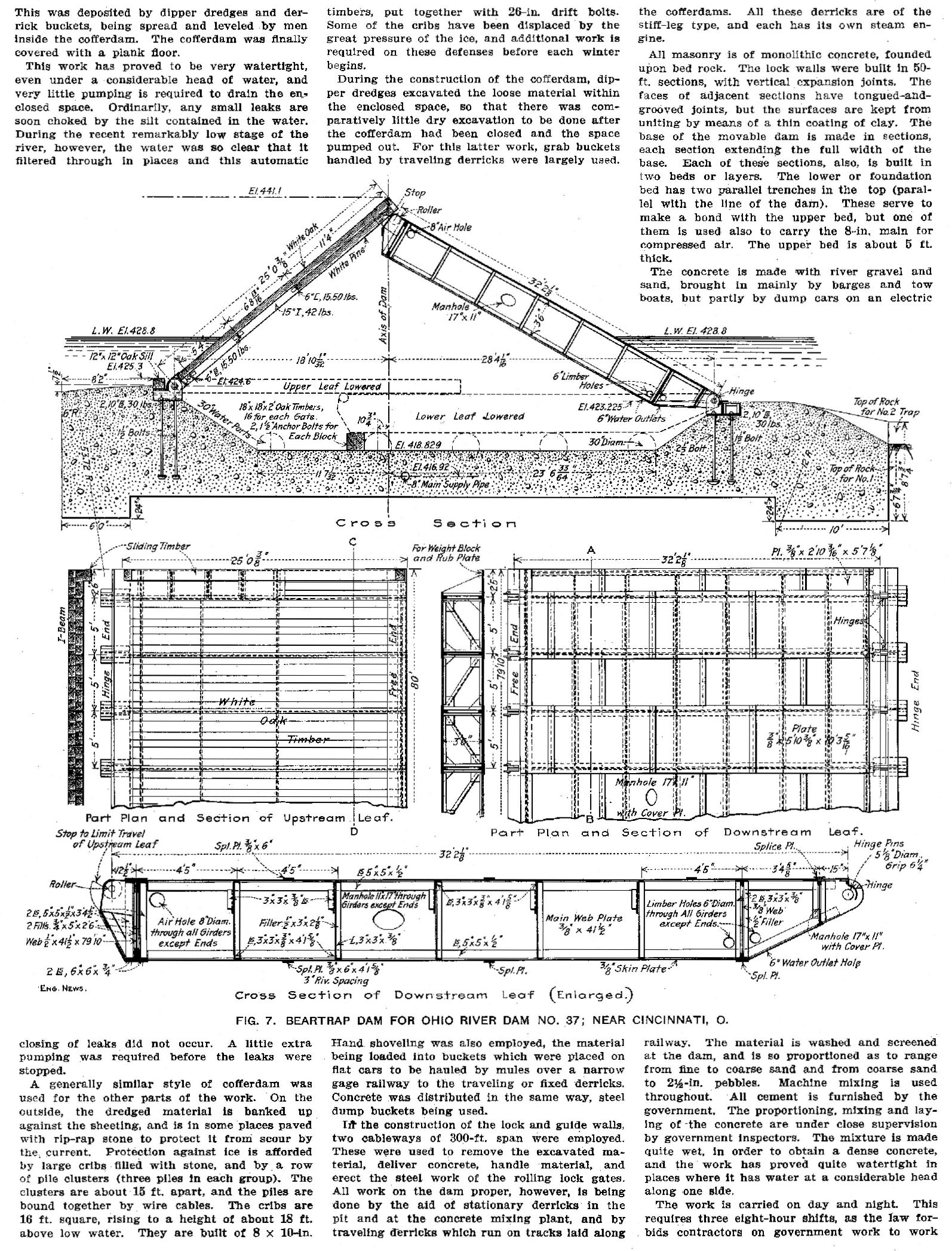
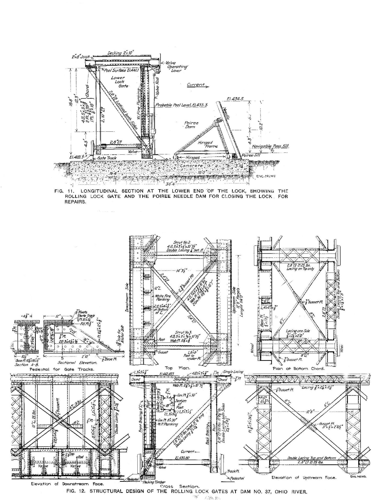
These dams were called "wicket" dams. The dam itself was 900' long consisting of 225 wickets each one 16'11" in length, 3'9" wide, and 12" thick at the lower end and 8" thick at the top. There was a 3" gap between them. They were oak and steel barriers that could be raised or lowered depending on the height of the river. When lowered they would lie flat on the river bed. The lock was on the Ohio side and was only used when the wickets were up in low water conditions. The locks were only used about 5 months each year. It took about 10 minutes to lock a boat thru the dam. On the Kentucky side were 3 discharge gates that were called bear traps. The bear trap dams were formed by four concrete piers 80' apart. Compressed air from the power house was used to raise the leaves of the dams. These gates would allow excess water to pass without lowering the wickets. It also allowed the passage of drift wood and ice buildup in winter. The wickets were raised and lowered by a man using an iron hook riding in a maneuver boat you will see in many of these cards. The force of the water was used to help raise the wickets. Below is a wicket on land in an open position. The 2nd image is a model of the next dam downriver from Fernbank, dam 38, at Maxville, Indiana. It was built by the lockmaster there. The 3rd image shows the maneuver boat being used to lift the wickets.
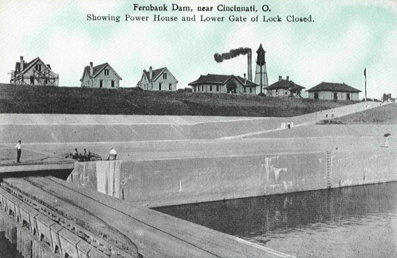
On the Ohio side at the highest known flood stage were built in a row, the office building, the power house, a warehouse and four lock tender's homes. At the start of WWII fences were put up around all the dams to help prevent sabotage. After the war locks 36 and 38 fences were removed but Fernbank's were retained. Apparently the Lock Master (James Stutzman) considered the grounds to be his personal domain, and would prevent people from entering for reasons known only to him. The area is now a park.
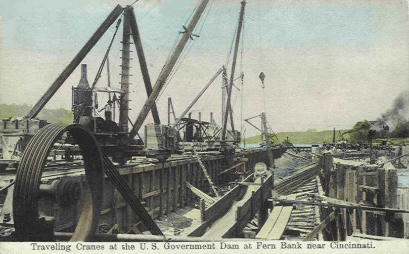
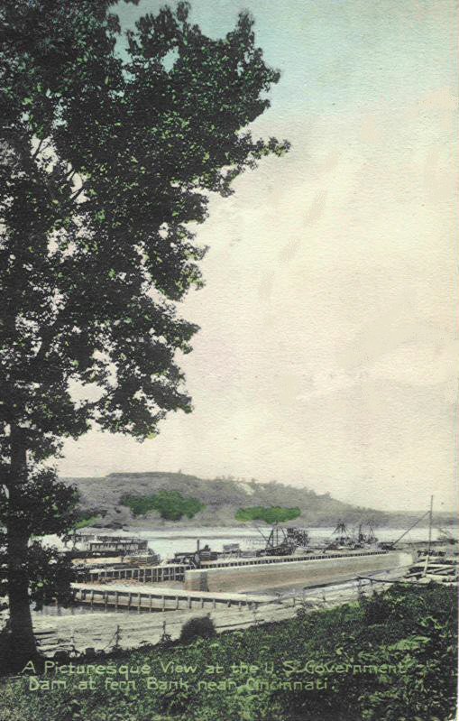
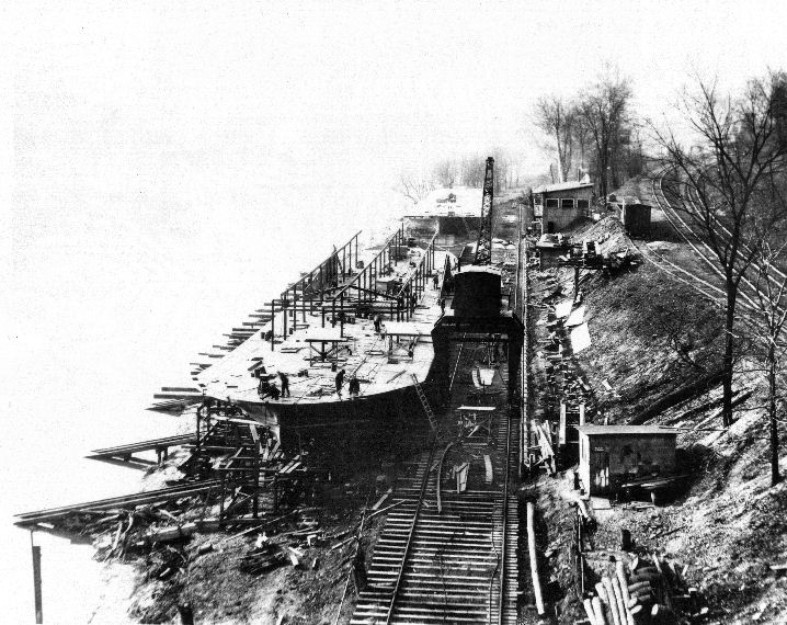
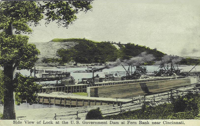
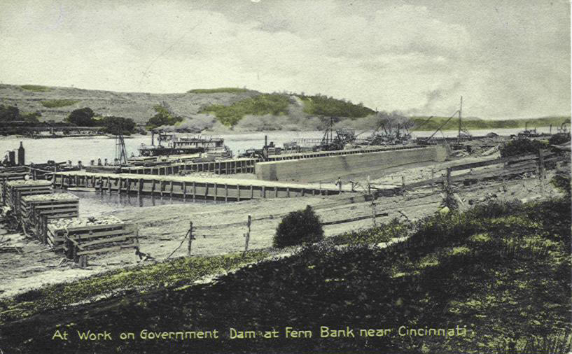
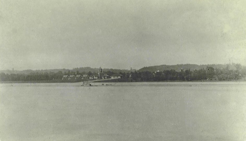
These 5 cards all show the construction of Fern Bank Dam
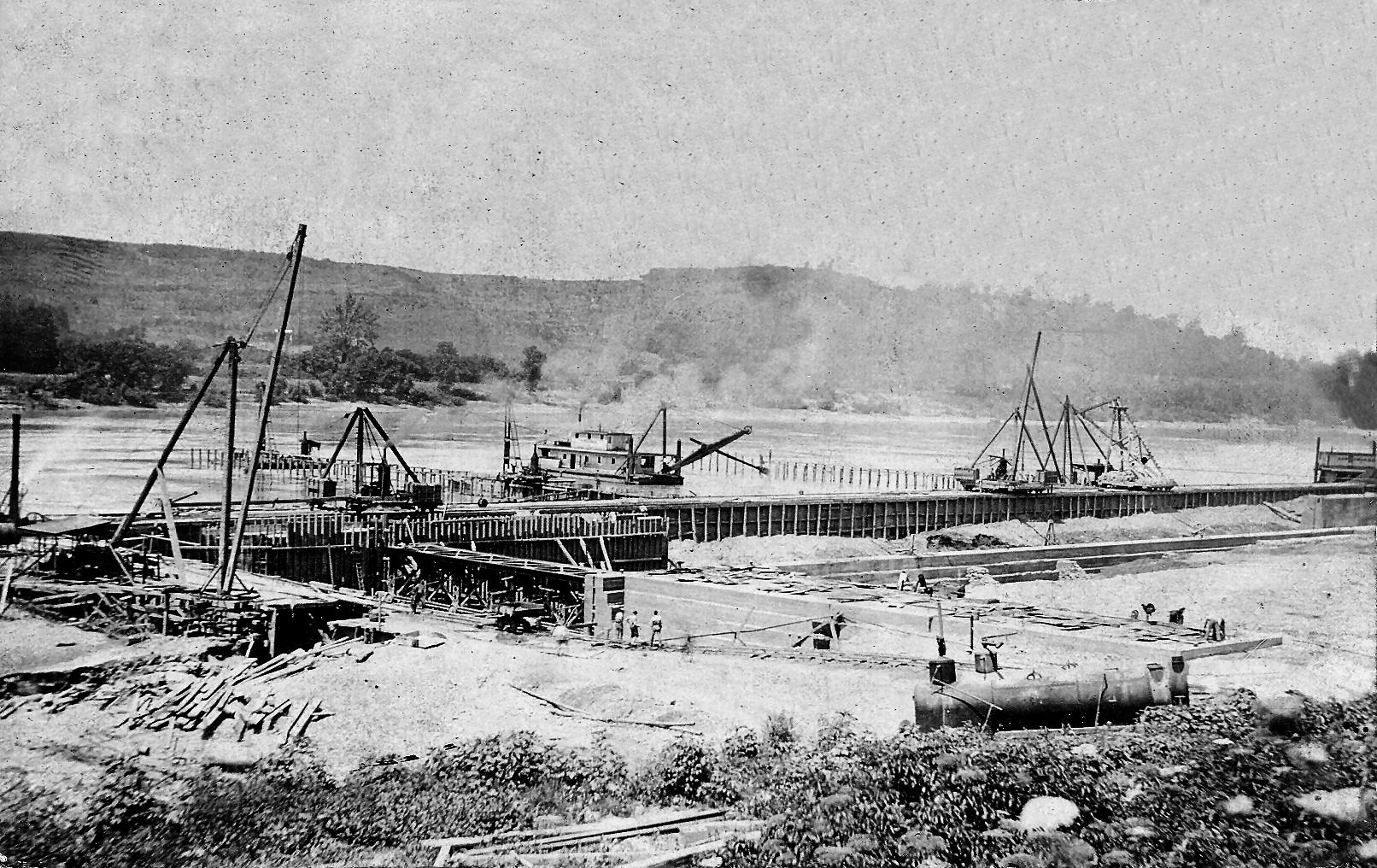
RPPC of Construction
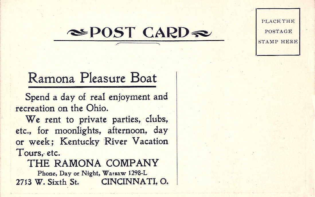
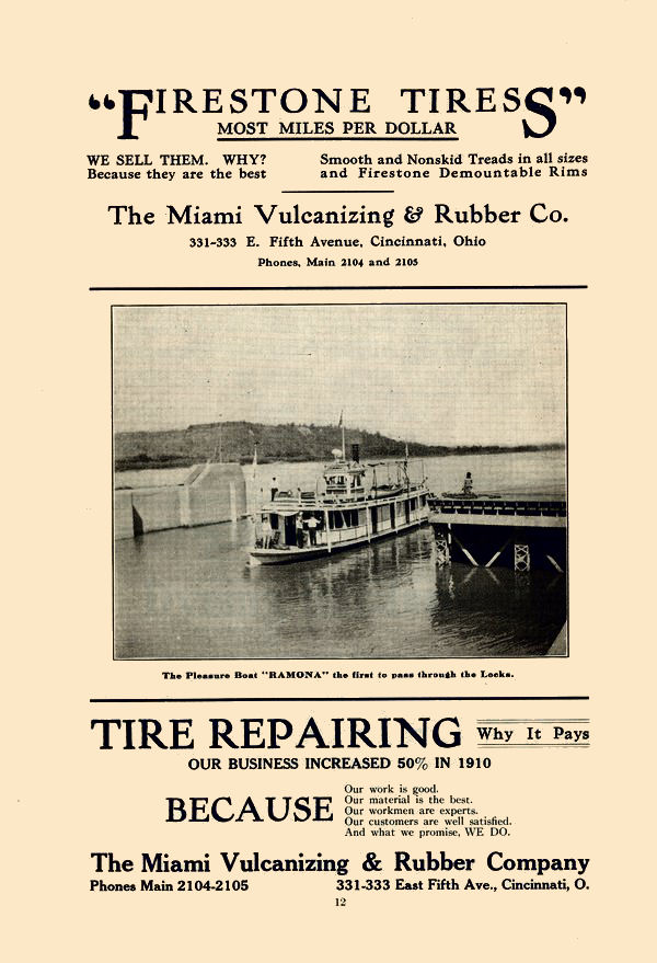
RAMONA
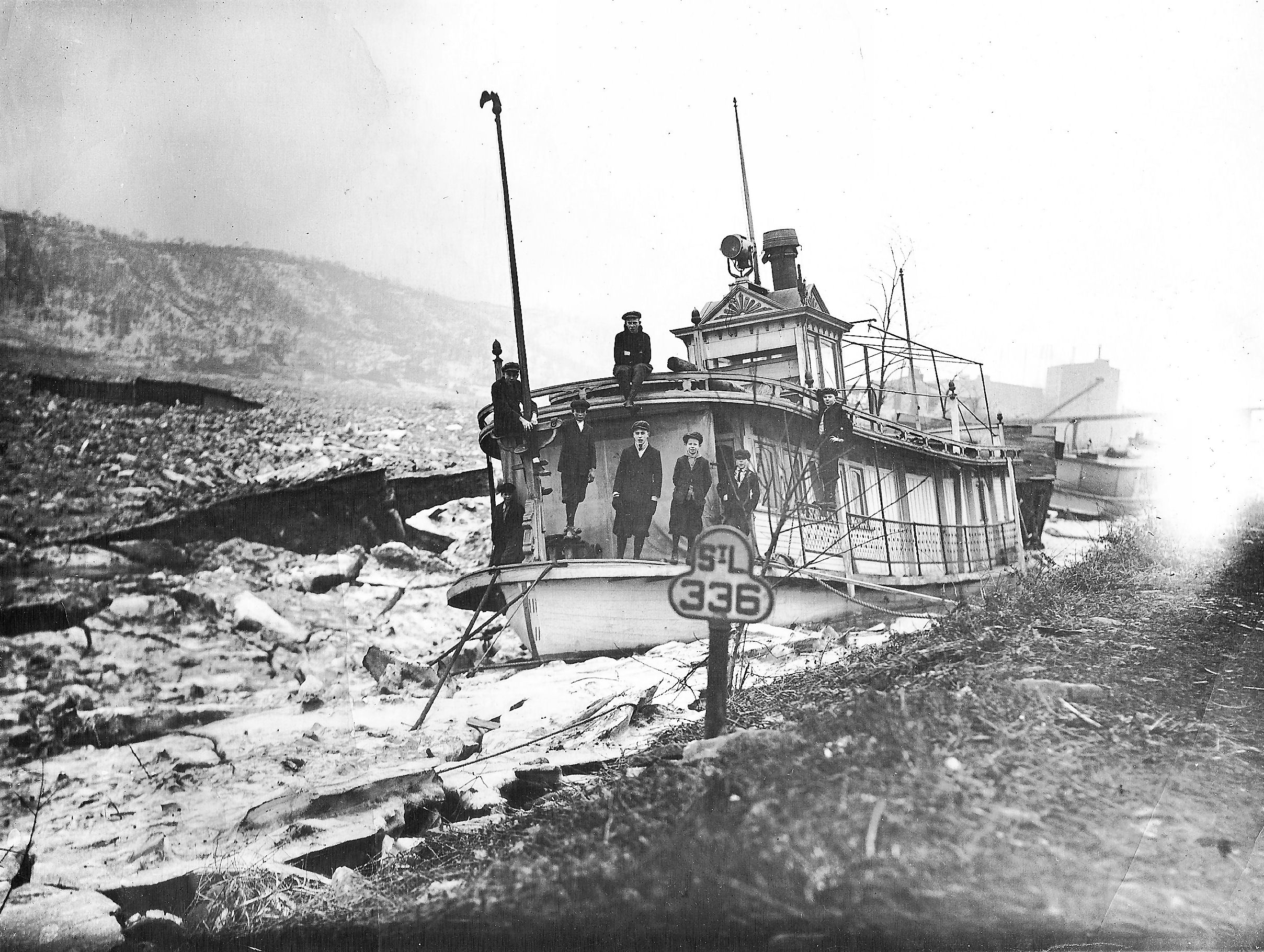
The Ramona was the first boat through Fern Bank's locks.
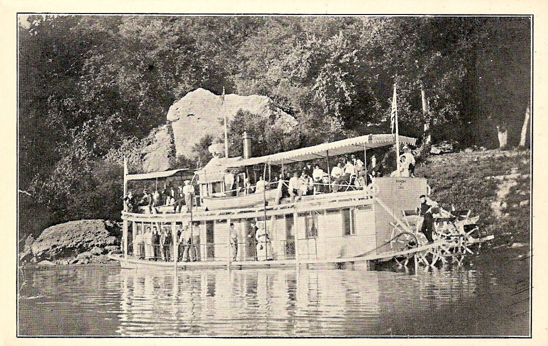
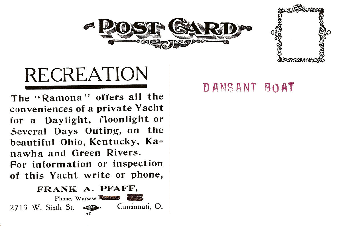
Pleasure Boat Ramona for hire.
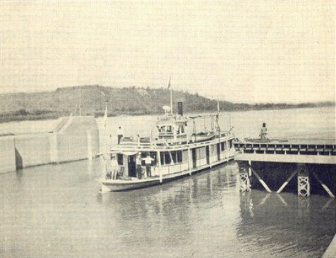
Ramona Stationary Ramona During 1918 Ice
Gorge
The images above are not postcards. Thanks to Pam Hasenohr, whose great uncle owned the Ramona, for supplying the last two items above.
 *
*
Real Photo
Postcard
Colorized version
RPPC
RPPC
A note of interest: any boat that is an official carrier of the mail gets priority preference over any other boat waiting to lock thru.
Worker crossing over the bear
traps using a lift chair.
The "Bear Trap Lock / Dam" was invented by Josiah
White. On Mauch Chunk creek, which feeds the Lehigh, they developed a unique
"bear trap lock," which was patented in 1819. "Immense stones
were dragged from the mountains for lock-walls. A trough was constructed on the
riverbed. The walls were completed, the trough done. Water was let in from a
reservoir under a construction which seemed like overlapping cellar doors. A
pool gathered. The lock-tender opened a sluice beneath a gabled platform -- and
water pressure in the pool, against the dam created by the gable, pushed the
platform flat. The down-coming boat could swoop forward on a long wooden chute
thus made. On the high breast of water, the craft floated safely and smoothly
over the rapids."
Josiah White used the name "Bear Trap Lock" to conceal
the actual purpose of the structures that he and his workers were constructing
in the freezing cold Lehigh River. Josiah White was under contract with the
Commonwealth of Pennsylvania to make the Lehigh River navigable to carry
anthracite coal to market from Mauch Chunk to the Delaware River and on to
Philadelphia.
The design
and construction of Bear Trap Locks appear in engineering publications to
this day and are still considered a viable solution for improving river
navigability.
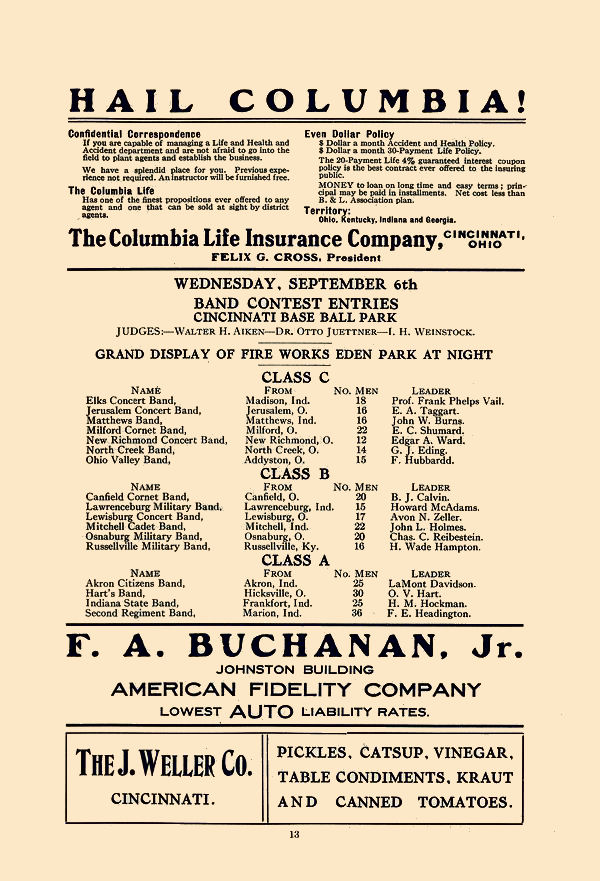
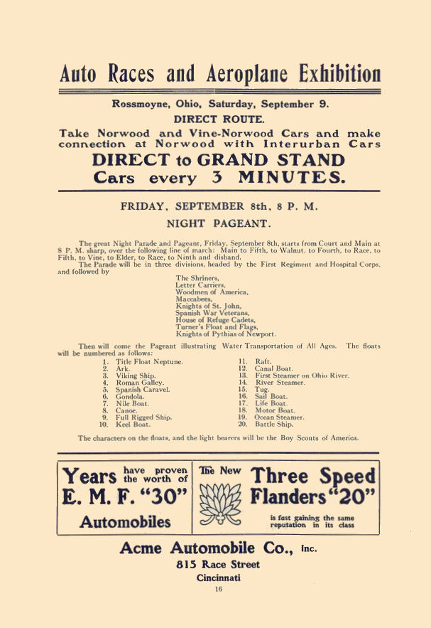
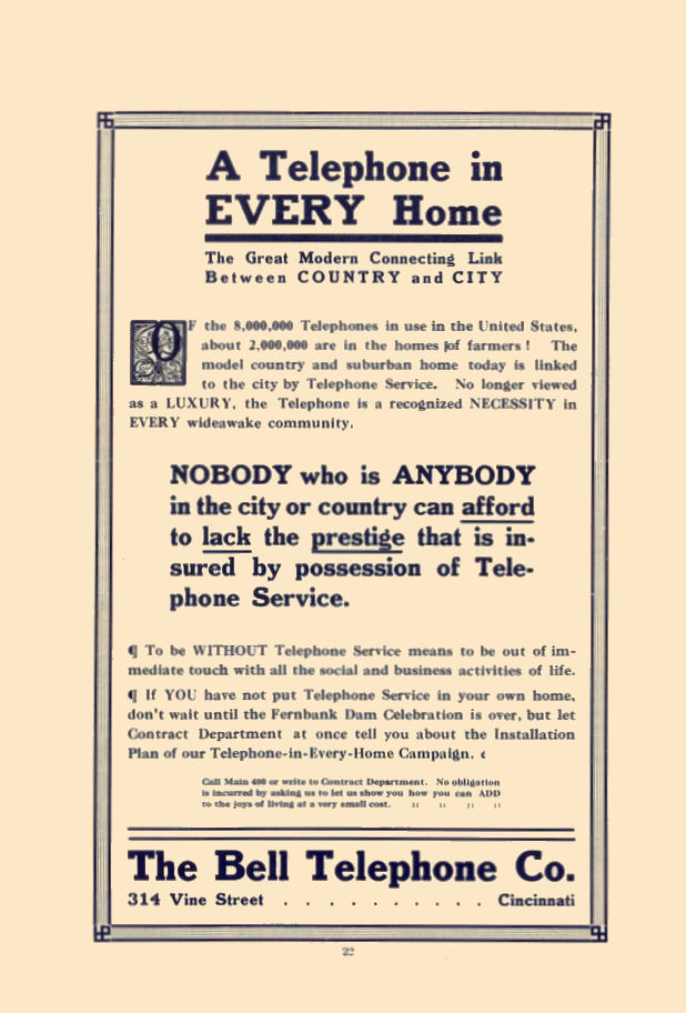
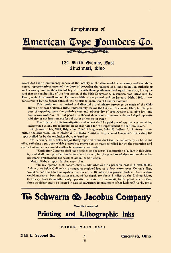
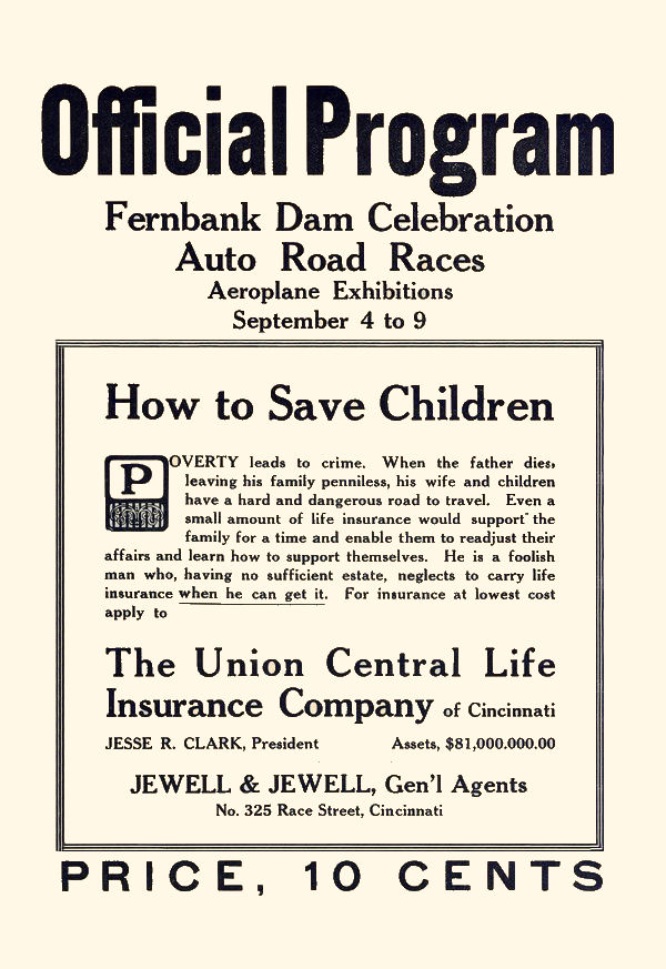
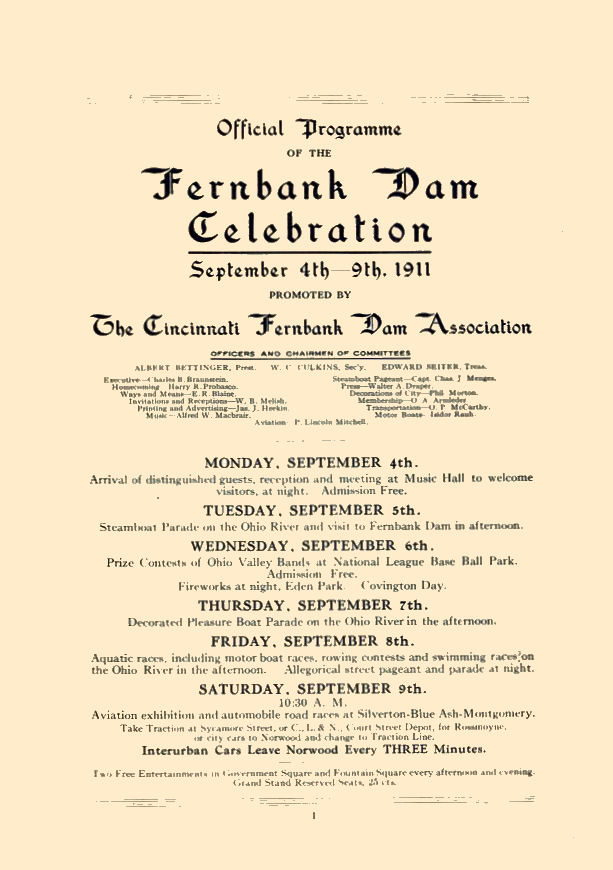
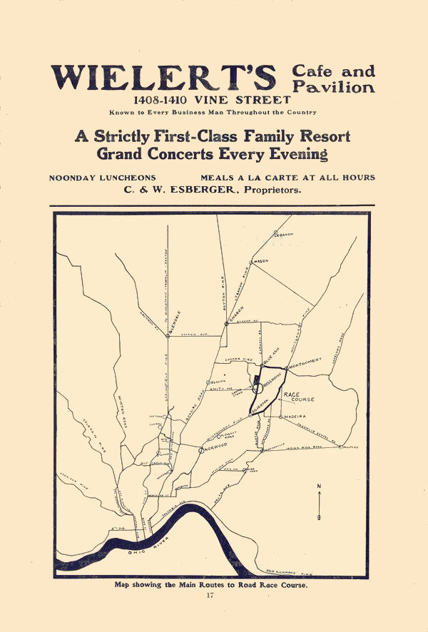
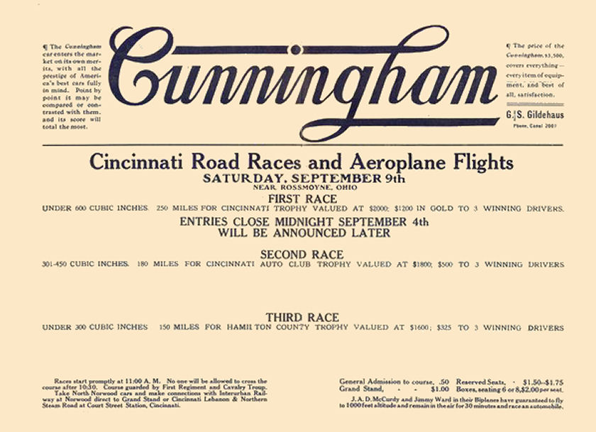
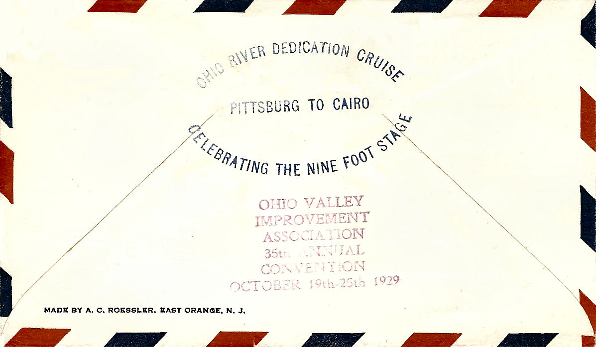
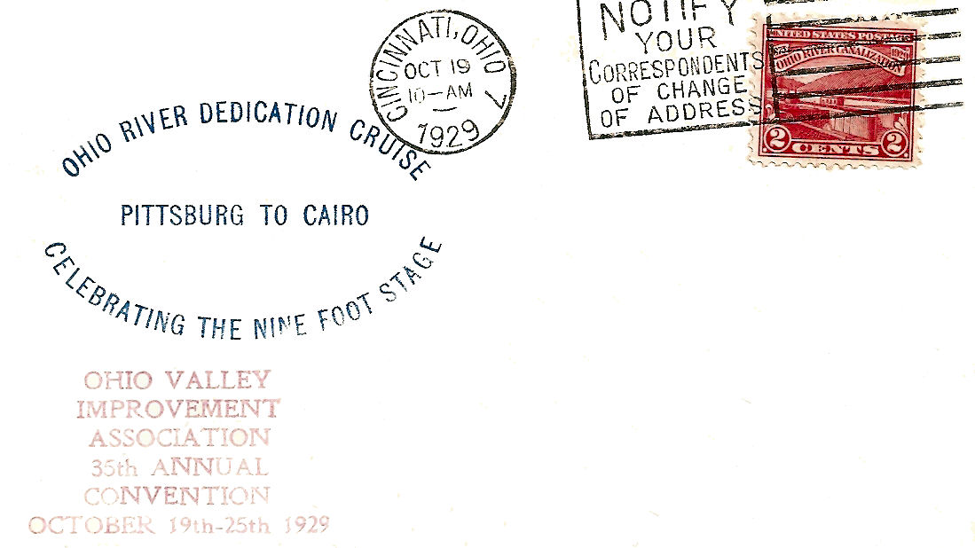
FERNBANK DAM PROGRAM
1909 ENGINEERING ARTICLE
There were other articles mixed in with this one so that it the reason some of these pages look a little weird. This is probably more information than most of you want and it is awkward to use, but it is instructional.
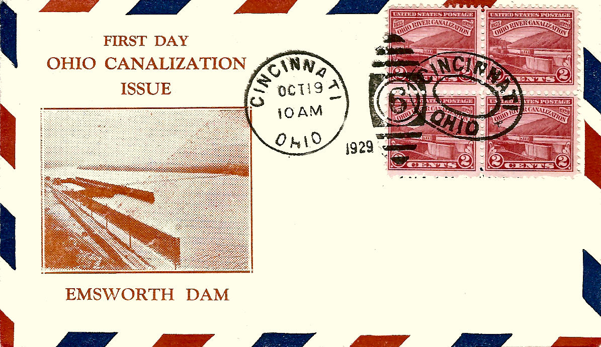
The First Day Covers above were issued for the Ohio River Canalization issue on October 19, 1929. The 1st cover has a cachet of the Emsworth Dam, not Fernbank. Emsworth is in the Pittsburgh area.
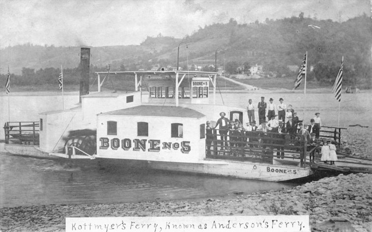
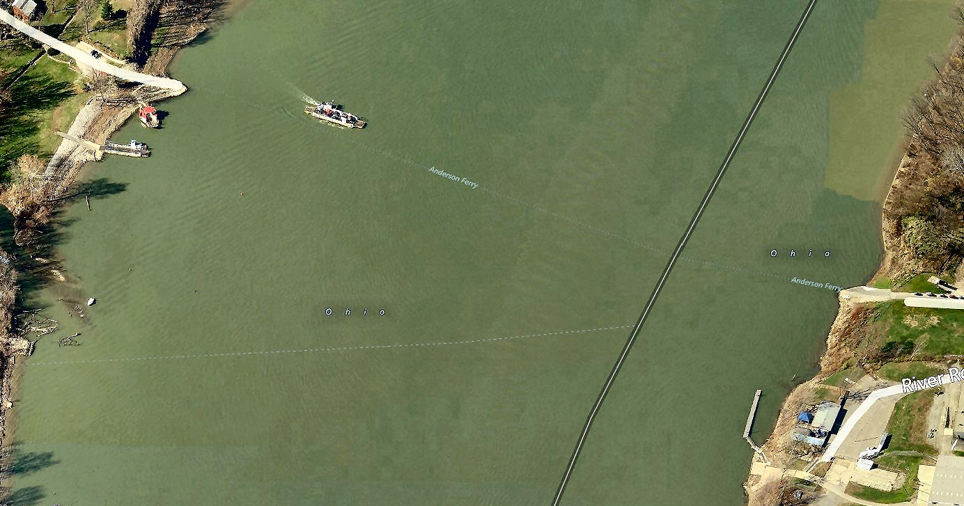
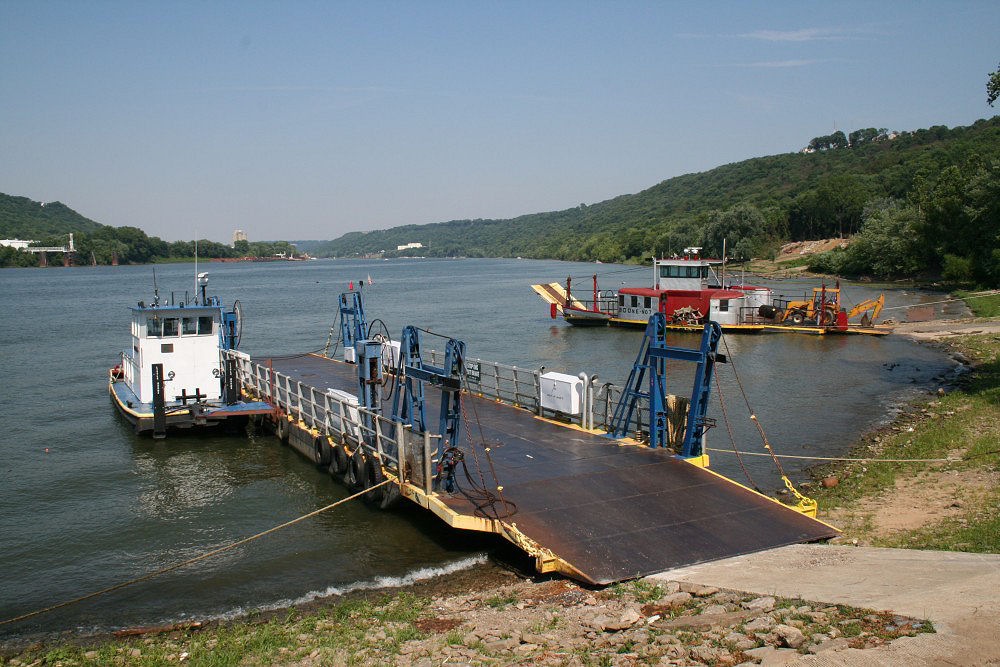
CINCINNATI FERRYBOATS
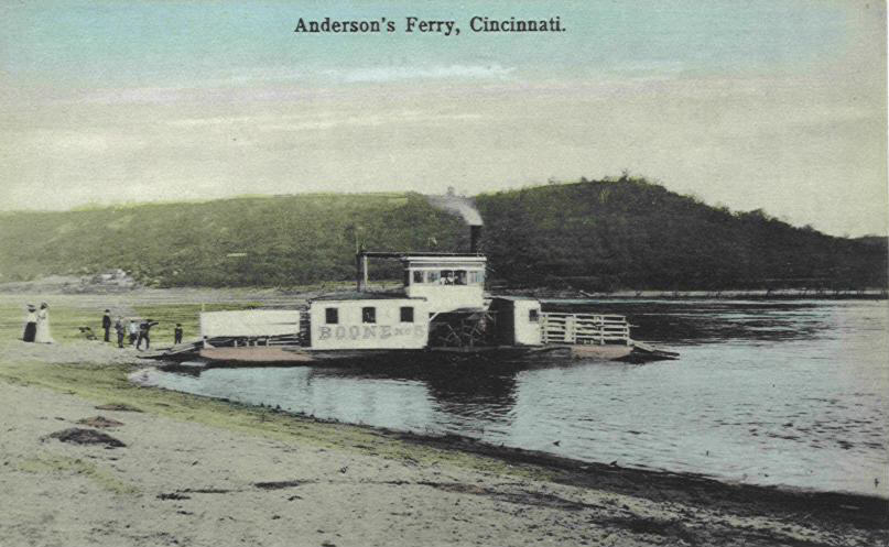
Anderson Ferry is the only ferry in the Cincinnati area still in existence
(it's not too far away from Fern Bank). Records show that there has been a ferry
at this location since 1817. It is named after an early owner, George Anderson
who bought it and 103 acres from Raleigh Colston in 1817 for $351.87. From then
until 1864 the ferry changed ownership 15 times. Confederate General Morgan first crossed the Ohio
here in 1863. George Kottmyer bought the ferry on March 8, 1865, from John
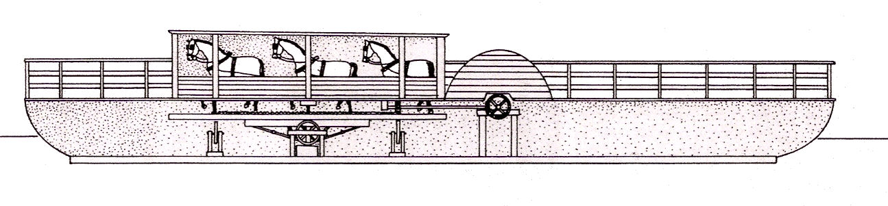
Wilson. Back then it was called a "Horse operated" treadmill ferry
boat. They used blind horses whenever possible because those horses were not
usable for any other job. Boone #1 was the first steamboat ferry Kottmyer built
in 1867. The two postcards below show the Boone #5 ferry. That means this ferry is
the 5th one operated by the Kottmyer family. For reference, in 1949, the ferry was
called Boone #7. Still in operation Boone #7 is joined by Little Boone and
Deborah A.
Paul Anderson who had worked on the ferry since 1961 bought the
boat from the Kottmyer family in 1986. (He does not know if he is related to the
original Anderson who started the ferry). Today the ferry's carry over 500 cars
every weekday between Anderson Ferry Road in Cincinnati and 4030 River Road in
Hebron, Kentucky. In a few more years and this service will have been in business
for 200 years. On June 10, 1982 the Anderson Ferry was added to the National
Register of Historic Places.
Treadmill operated Ferry
Real Photo Postcard
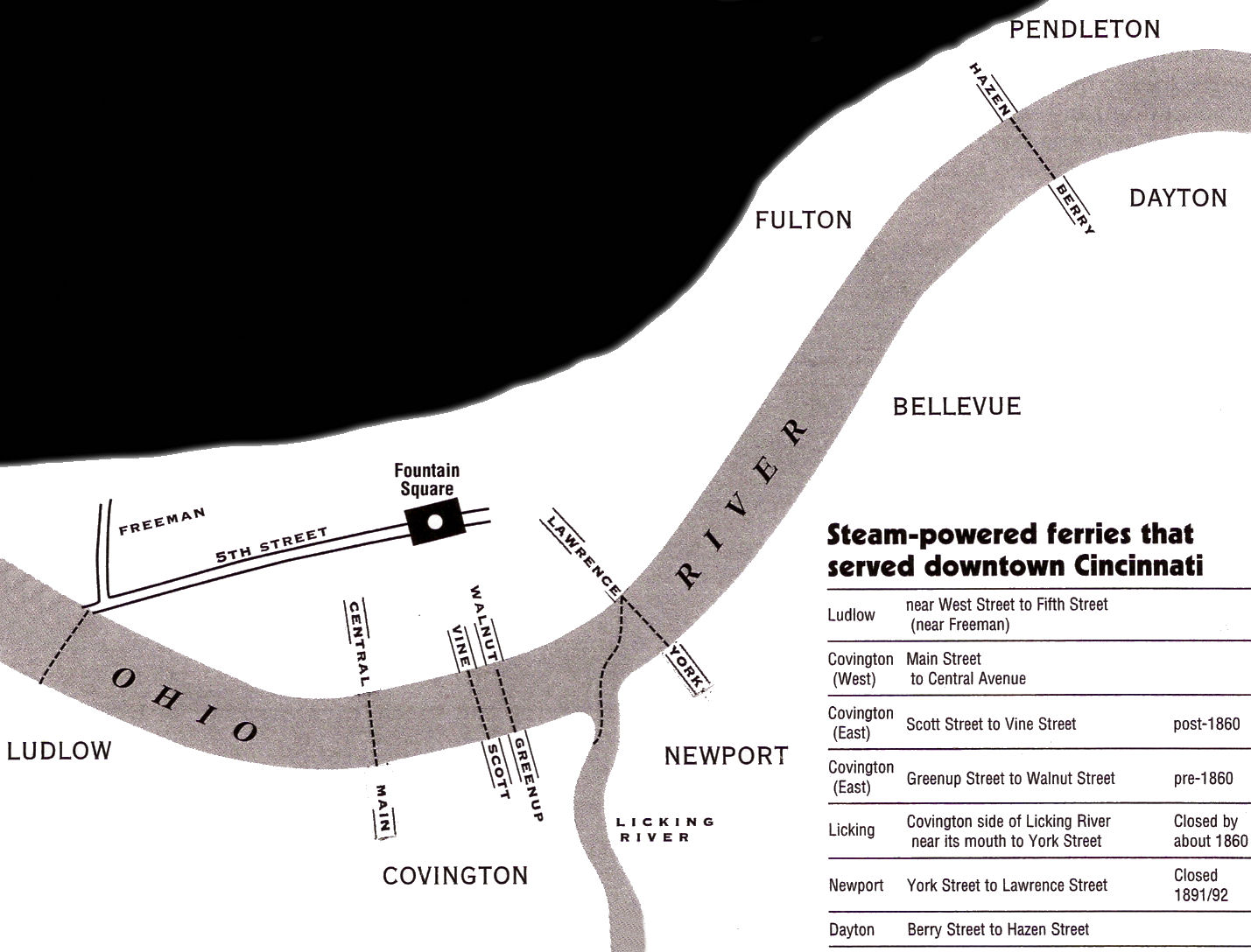
One of the first steam powered ferries to be used in the Cincinnati area was the Mary Cole in 1849 for the Licking River - Lawrence St. route. It had only a single smokestack so as not to block the pilots view. The image in the 2nd row shows all the routes used by Cincinnati's steam ferryboats.
Ferry Mary
Cole-1849
Ferry in
1885
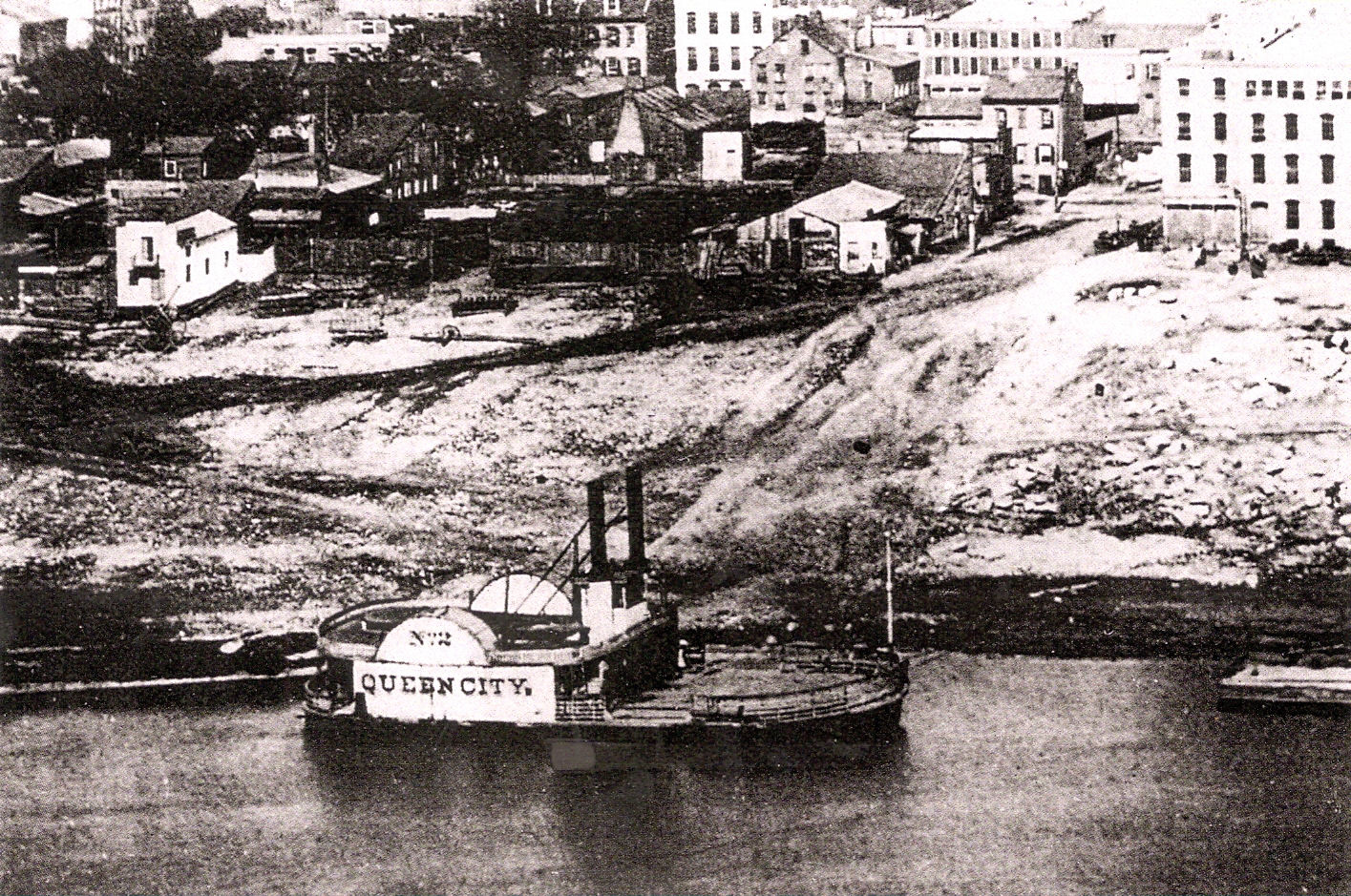
Ferry Queen City #2-1857 Ferry City of
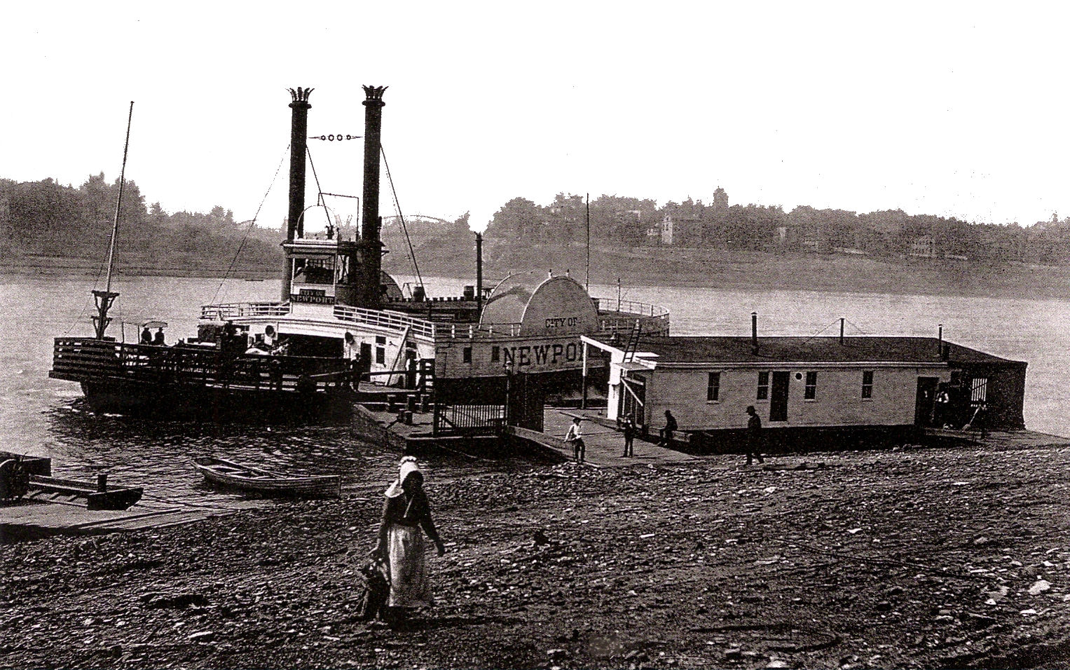
Newport-1882
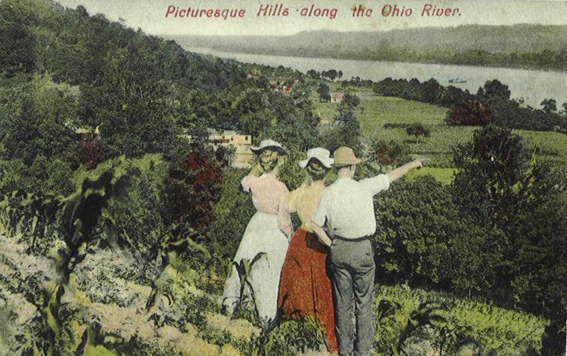
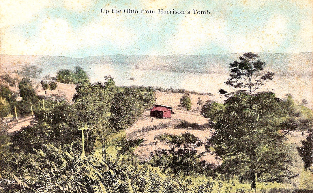
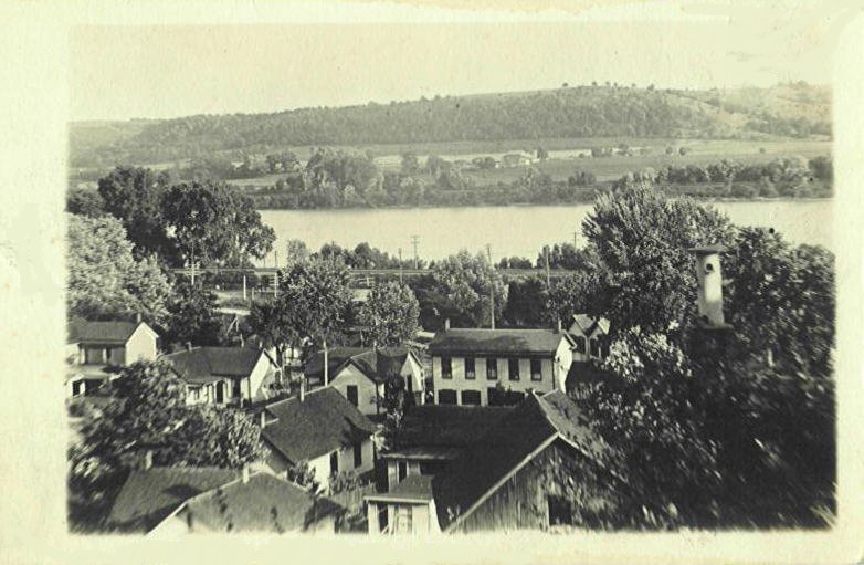
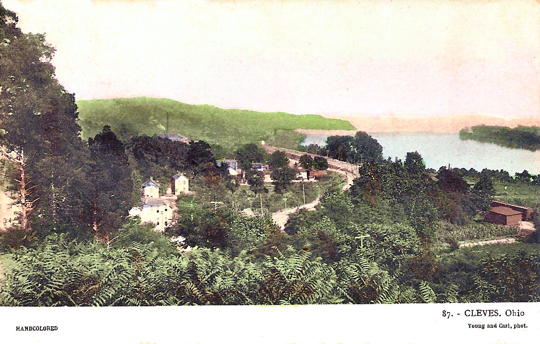
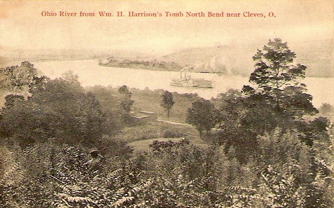
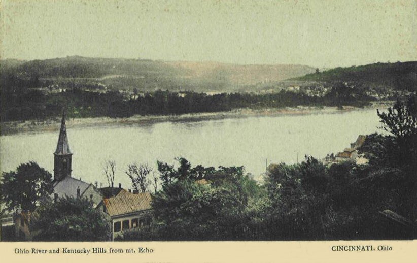
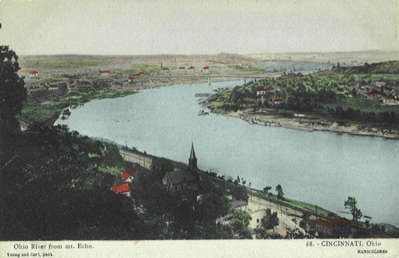
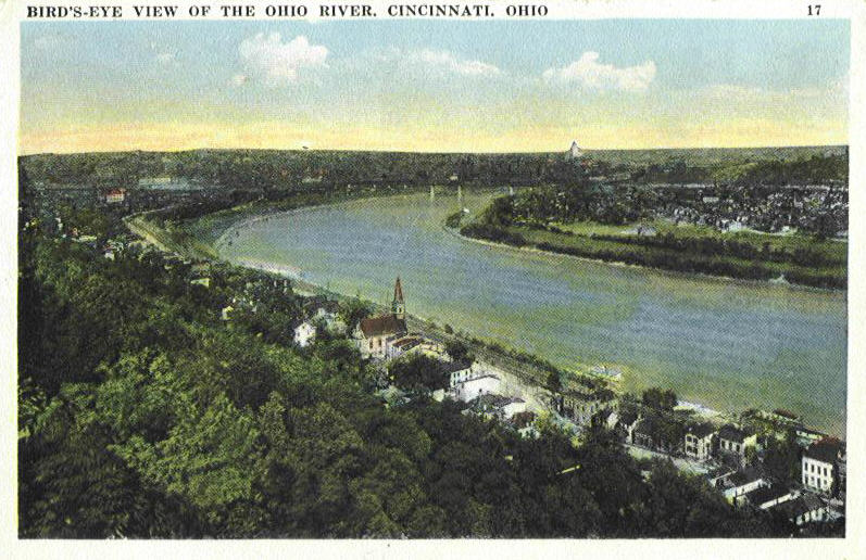
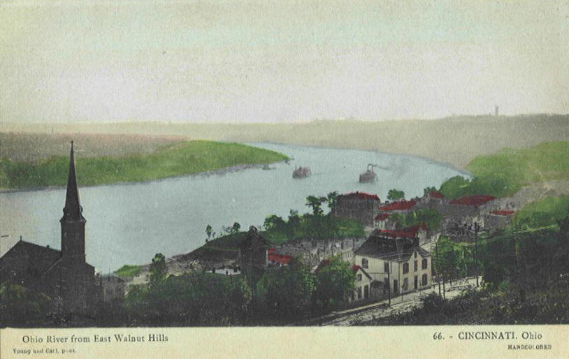
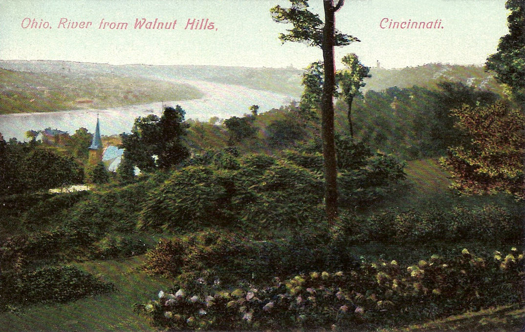
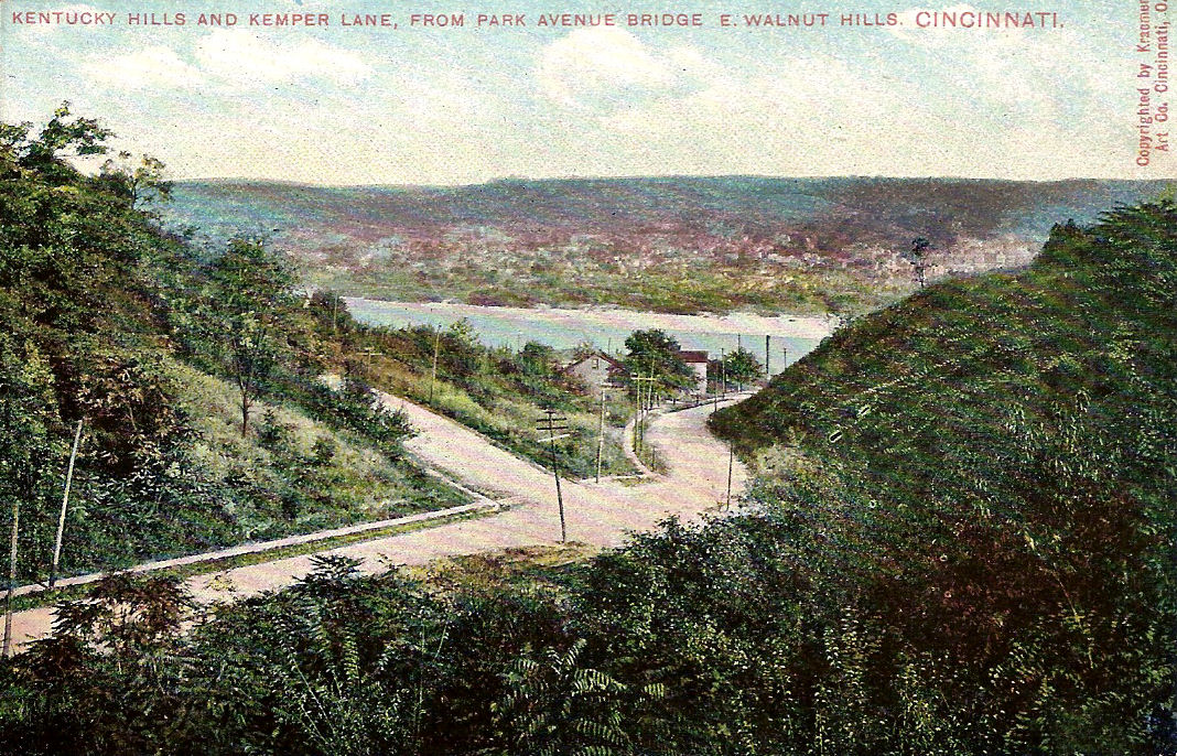
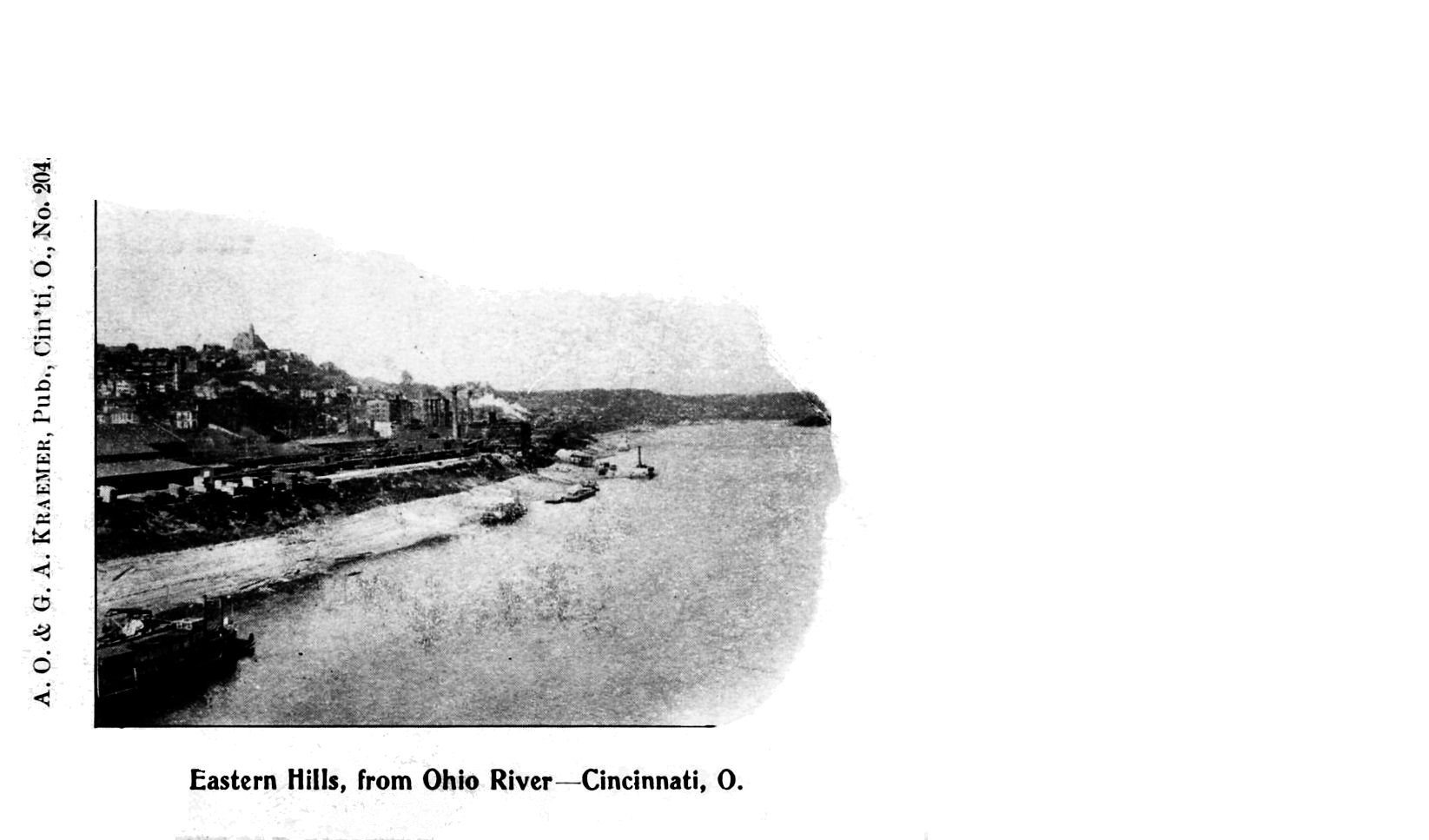
The first Kraemer card is showing the Ohio somewhere in the area. The second card is the area east of Harrison's Tomb.
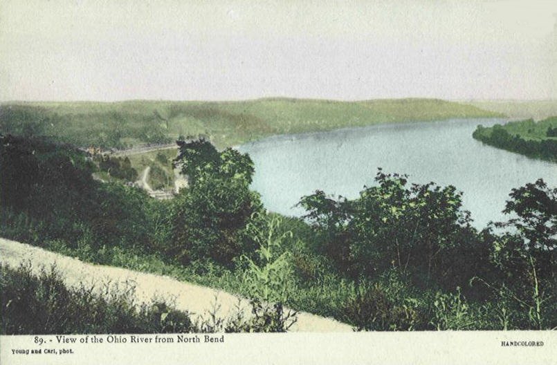
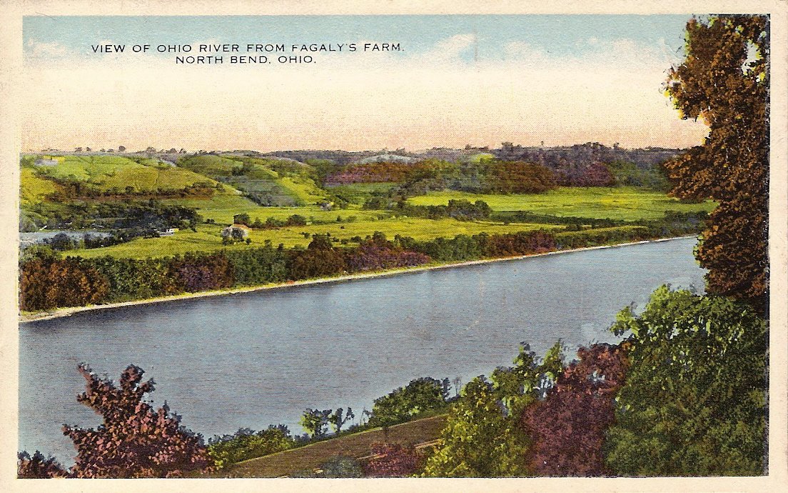
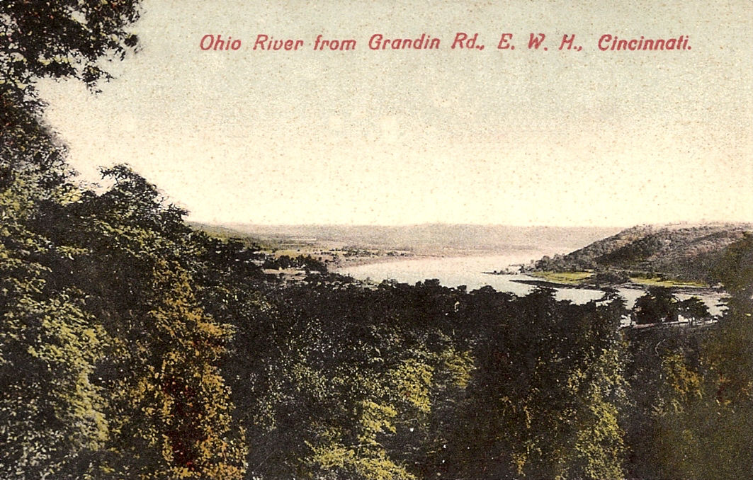
Not sure of location
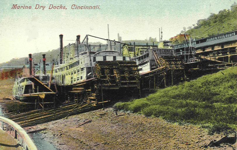
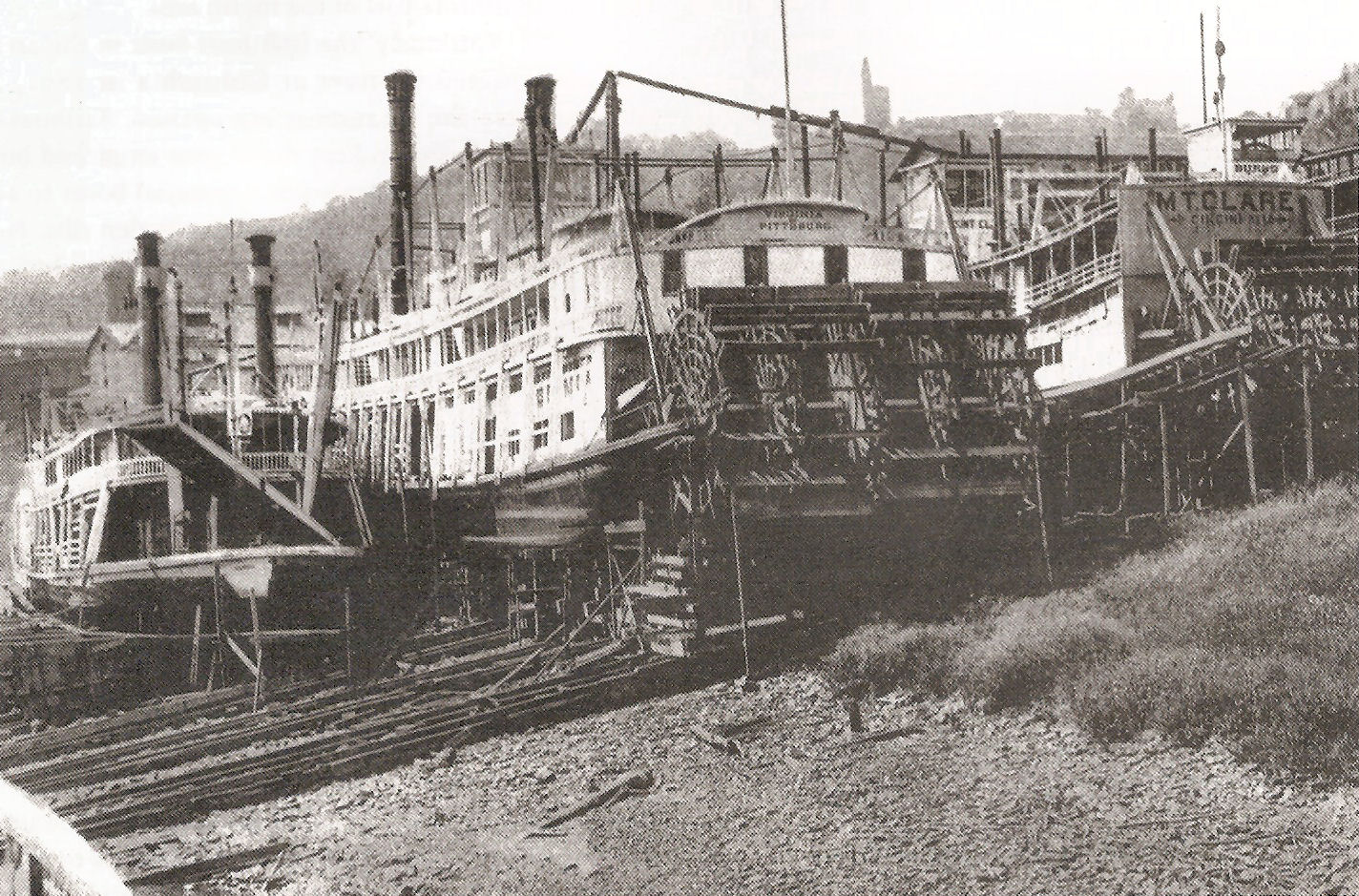
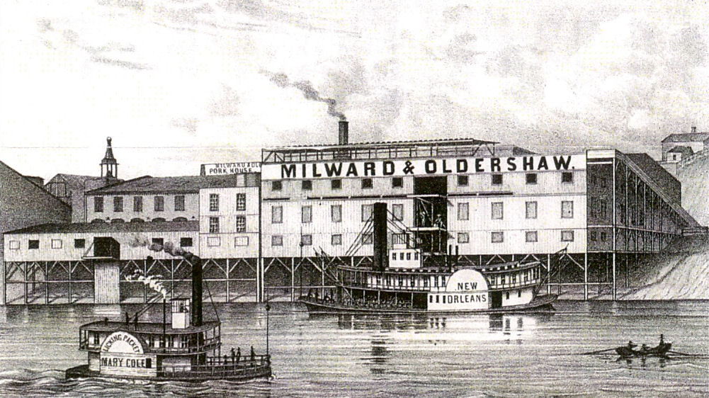
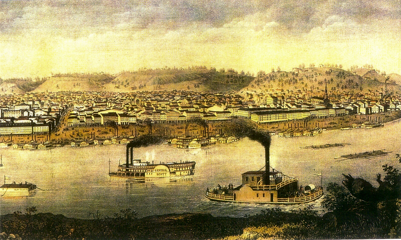
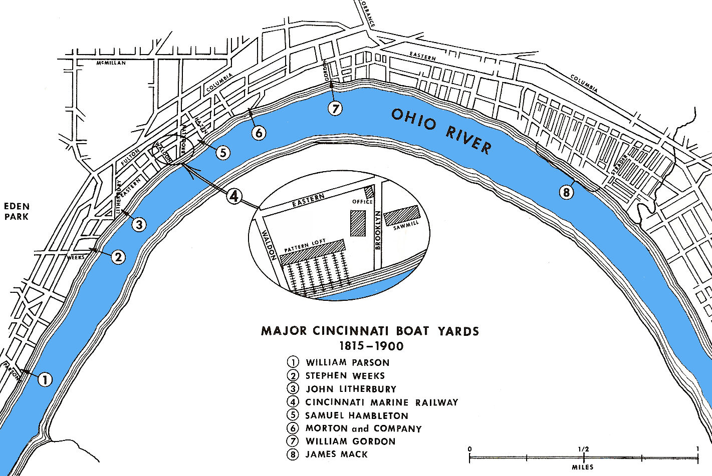
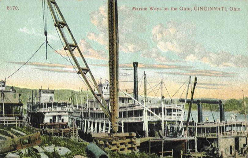
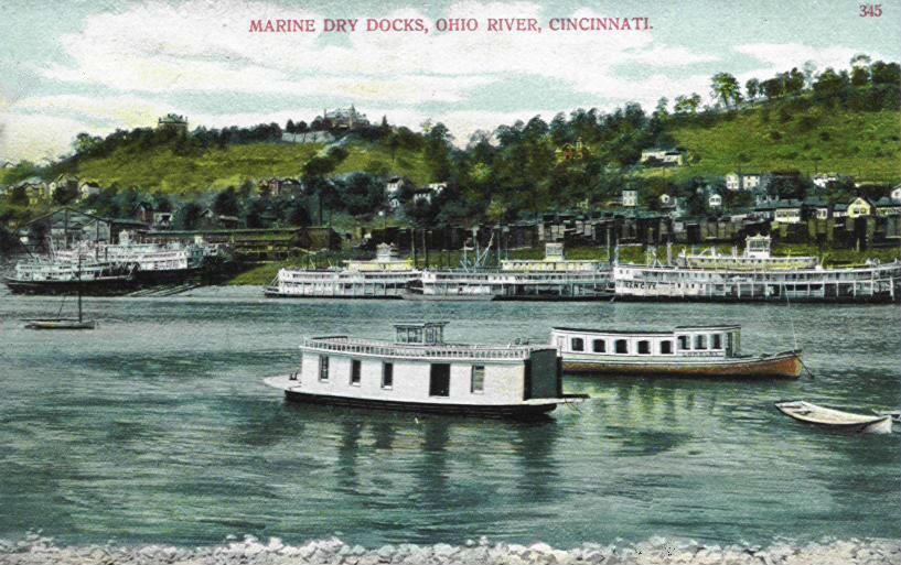
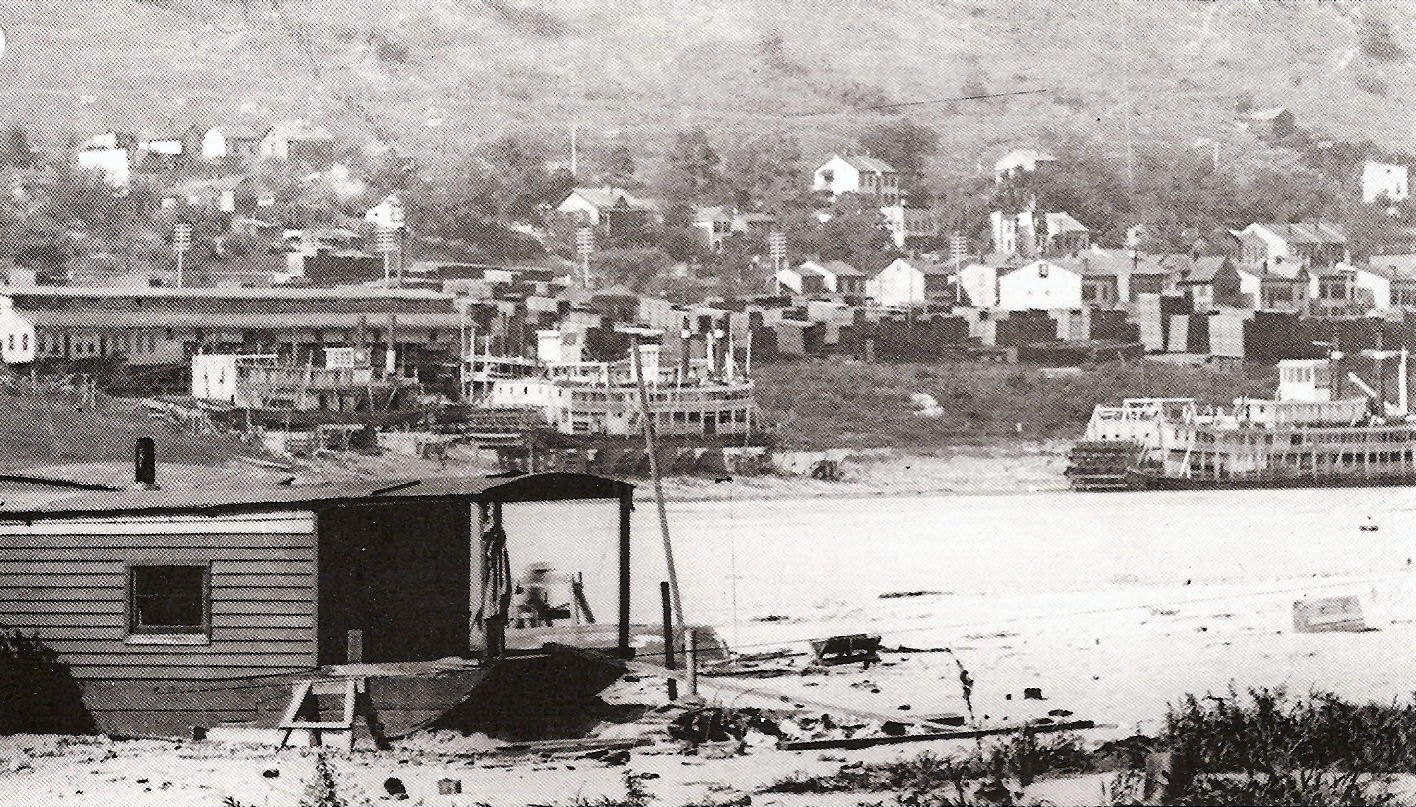
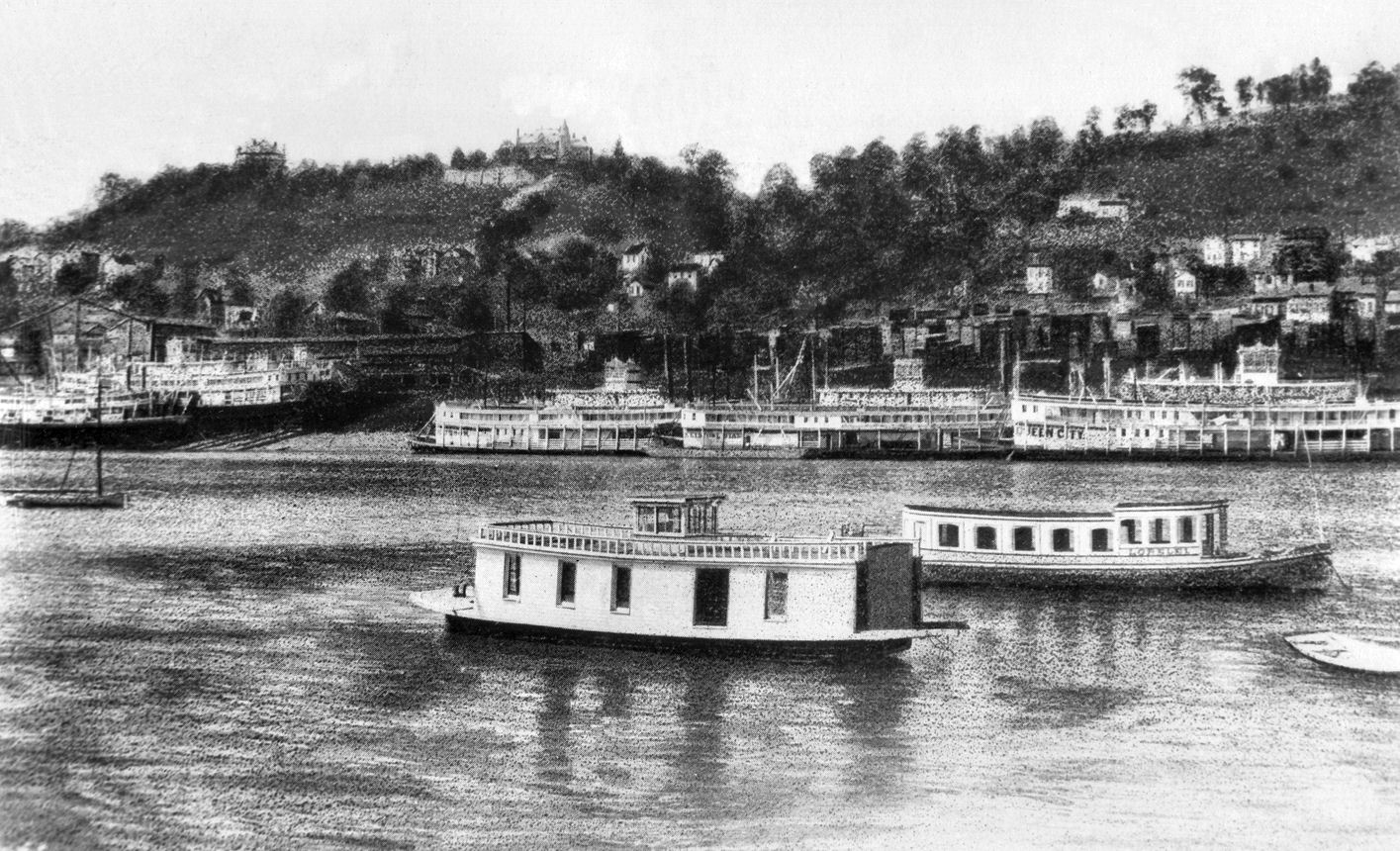
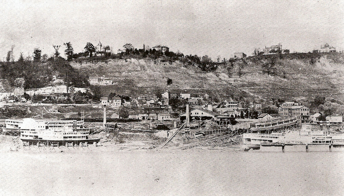
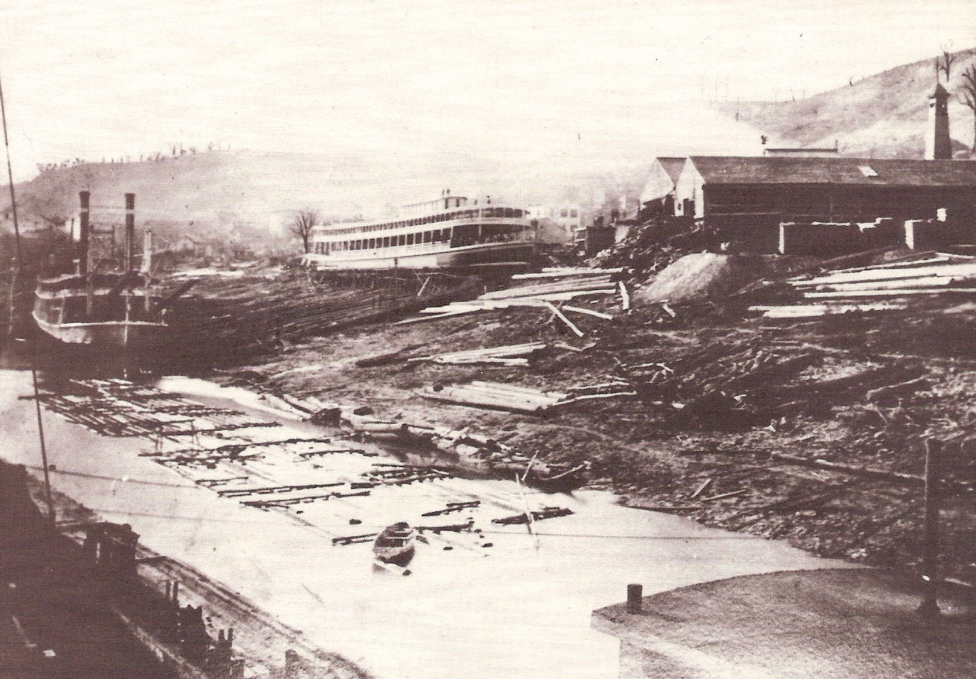
The next section show the Marine Dry Docks which were located across the river from Dayton KY. in Fulton Ohio at the bend in the river. Cincinnati first started to build steamboats in 1816. By 1826 57 had been completed. From the late 30's the boat yards launched 30 steamboats a year over a 20 year period. By the 1880's nearly 1000 boats were built here.
The images below are not postcards.

Views from Dayton, Kentucky side of the Ohio River.
The 3rd image above, taken in 1889, is unique in that it shows all four of the Pittsburgh & Cincinnati Packet Line steamers, The Queen City, Keystone State, Hudson, and Virginia. This is the photograph used in the postcard above it.
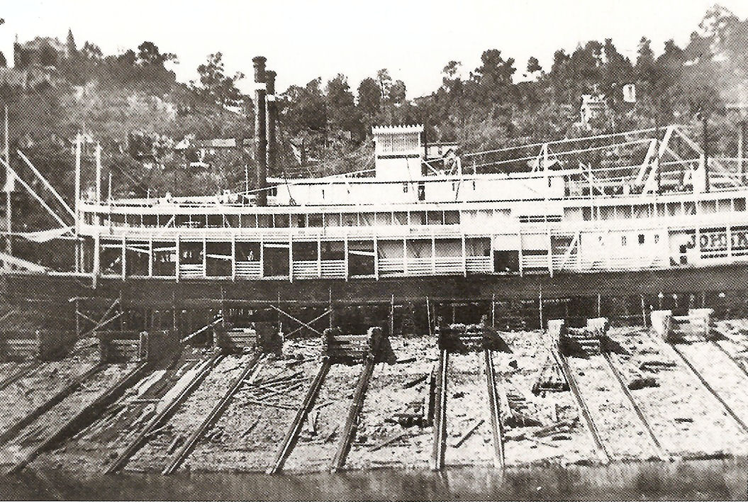
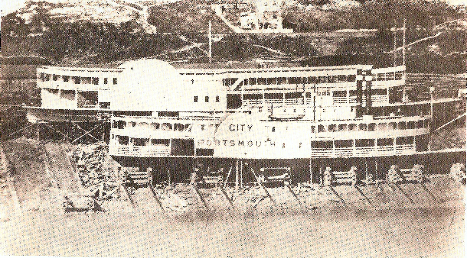
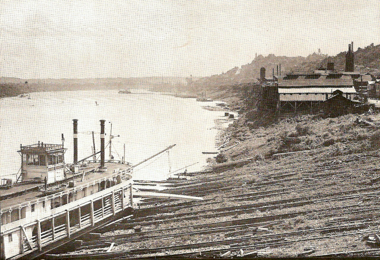
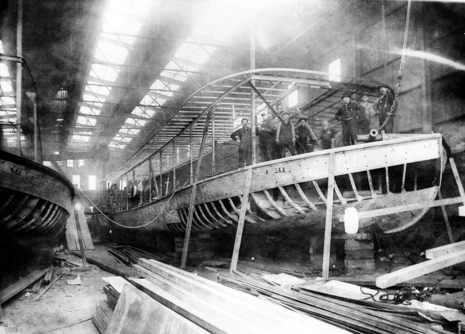
The Marine Railway Company was not only the largest
but it was also the longest lasting boatyard in the Cincinnati area starting in
1847 and lasting until November of 1919. The five images above give you a pretty
good view of how the boats were raised and lowered. Heavy timbers laid out in
pairs, and securely anchored in position, extended from the top of the river
bank down to below water level, these were called ways. There were eight
pairs of ways in each group. On each pair of ways was a sliding cradle that were
connected to heavy chains that ran up the hill to large winding drums. These
drums were connected by a long shaft that was driven by a powerful steam engine,
with clutches operating through nine sets of gearing. These clutches allowed any
or all the cradles to be raised or lowered simultaneously on the ways. The
bottom of the cradles rested on the ways while the top part was horizontal to
hold the boat level. To raise a boat for repairs the cradles would be lowered
into the river, the boat would be floated onto the cradles and would then be
lifted up the riverbank to the desired position. The boat would then be
supported by a system of blocking. The cradles could then be lowered to raise
another boat. The last image above is the photograph used for the first
postcard two rows above.
One of the many steamboats that were built by the Marine Railway
Co. was the first Island Queen in 1896.
Cincinnati & Queen
City
Queen City &
Hudson
The 4th image above was the one that was used for the middle postcard seen 4 rows up. Taken in 1900 it shows the towboat Mount Clare on the left with the packet Virginia in the center and the Harvester on the right with her stacks lowered.
FOR MORE OF THESE
CARDS ![]()

